Pareanui Bay Area, Pareanui Bay Postcode & Map in Pareanui Bay
Pareanui Bay Area, Pareanui Bay Postcode & Map in Pareanui Bay, Far North District, New Zealand
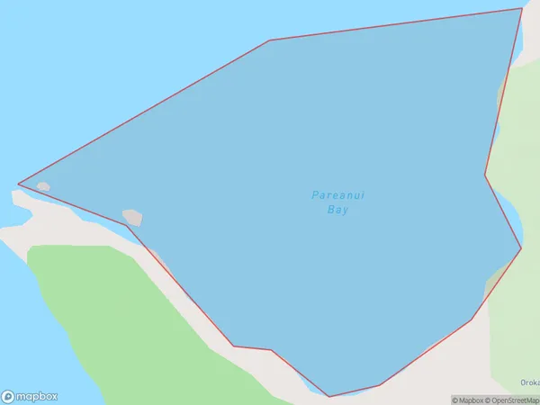
Pareanui Bay, Far North District, New Zealand
Pareanui Bay Area (estimated)
0.4 square kilometersPareanui Bay Population (estimated)
0 people live in Pareanui Bay, Bay of Islands-Whangaroa Community, NZPareanui Bay Suburb Area Map (Polygon)
Pareanui Bay Introduction
Pareanui Bay is located in the Northland region of New Zealand. It is known for its stunning natural beauty, including crystal-clear waters, white sand beaches, and lush tropical forests. The bay is a popular destination for swimming, snorkeling, and kayaking, and is home to a variety of marine life, including dolphins, whales, and seals. The bay is also surrounded by picturesque coastal settlements and is a gateway to the nearby Bay of Islands.Region
Major City
Suburb Name
Pareanui BayOther Name(s)
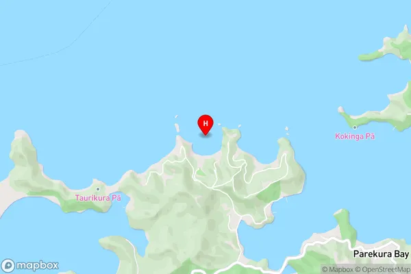
Te Rawhiti Inlet, Bay Of IslandsPareanui Bay Area Map (Street)
Local Authority
Far North DistrictFull Address
Pareanui Bay, Far North District, New ZealandAddress Type
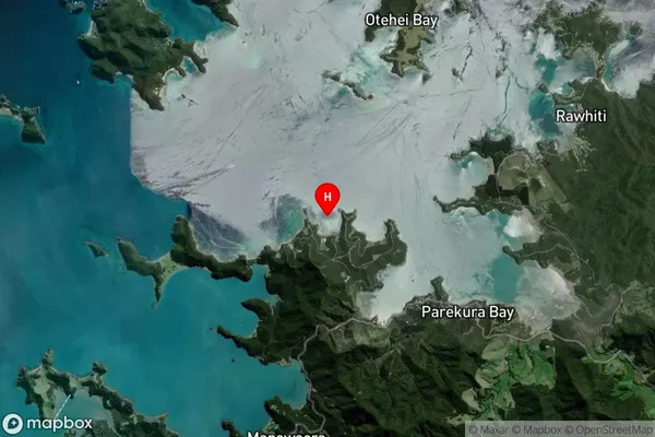
Coastal BayPareanui Bay Suburb Map (Satellite)
Country
Main Region in AU
NorthlandPareanui Bay Region Map

Coordinates
-35.2462276,174.2212607 (latitude/longitude)Distances
The distance from Pareanui Bay, , Far North District to NZ Top 10 Cities