Papawai Bay Area, Papawai Bay Postcode & Map in Papawai Bay
Papawai Bay Area, Papawai Bay Postcode & Map in Papawai Bay, Marlborough District, New Zealand
Papawai Bay, Marlborough District, New Zealand
Papawai Bay Area (estimated)
1.1 square kilometersPapawai Bay Population (estimated)
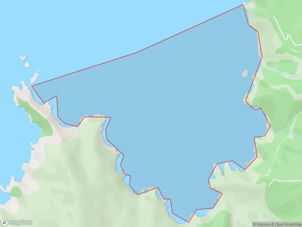
0 people live in Papawai Bay, Marlborough, NZPapawai Bay Suburb Area Map (Polygon)
Papawai Bay Introduction
Papawai Bay is a picturesque and peaceful bay located in the Marlborough region of New Zealand. It is known for its crystal-clear waters, stunning coastal scenery, and diverse marine life. The bay is a popular spot for swimming, kayaking, and fishing, and it is also home to a small community of residents. The bay is surrounded by lush green hills and is located within the Pelorus Sound Marine Reserve, which is a protected area that offers a range of outdoor activities and wildlife viewing opportunities.Region
Suburb Name
Papawai BayPapawai Bay Area Map (Street)
Local Authority
Marlborough DistrictFull Address
Papawai Bay, Marlborough District, New ZealandAddress Type
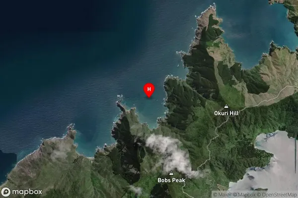
Coastal BayPapawai Bay Suburb Map (Satellite)
Country
Main Region in AU
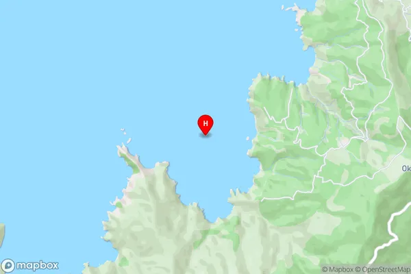
MarlboroughPapawai Bay Region Map

Coordinates
-40.9977097,173.7449674 (latitude/longitude)Distances
The distance from Papawai Bay, , Marlborough District to NZ Top 10 Cities