Papatea Bay Area, Papatea Bay Postcode & Map in Papatea Bay
Papatea Bay Area, Papatea Bay Postcode & Map in Papatea Bay, Area outside Territorial Authority, New Zealand
Papatea Bay, Area outside Territorial Authority, New Zealand
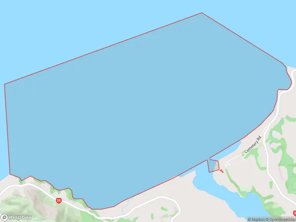
Papatea Bay Area (estimated)
16.5 square kilometersPapatea Bay Population (estimated)
0 people live in Papatea Bay, Bay of Plenty, NZPapatea Bay Suburb Area Map (Polygon)
Papatea Bay Introduction
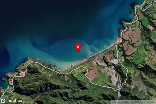
Papatea Bay is a picturesque beach located in the Bay of Plenty, New Zealand. It is known for its white sand, crystal-clear waters, and stunning coastal views. The bay is a popular spot for swimming, snorkeling, and kayaking, and is surrounded by lush green hills and native forests. It is also home to a small community of people who live in the surrounding areas.Region
Suburb Name
Papatea BayOther Name(s)
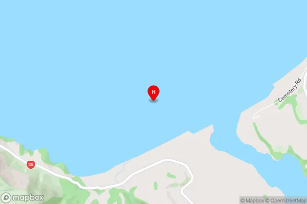
Bay Of PlentyPapatea Bay Area Map (Street)
Local Authority
Area outside Territorial AuthorityFull Address
Papatea Bay, Area outside Territorial Authority, New ZealandAddress Type
Coastal BayPapatea Bay Suburb Map (Satellite)
Country
Main Region in AU
Bay of PlentyPapatea Bay Region Map

Coordinates
-37.6541931,177.8472943 (latitude/longitude)Distances
The distance from Papatea Bay, , Area outside Territorial Authority to NZ Top 10 Cities