Papaotehiwera Bay Area, Papaotehiwera Bay Postcode(4108) & Map in Papaotehiwera Bay
Papaotehiwera Bay Area, Papaotehiwera Bay Postcode(4108) & Map in Papaotehiwera Bay, Wairoa District, New Zealand
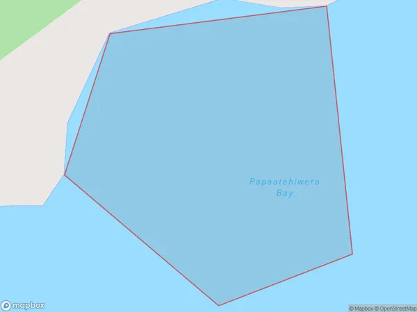
Papaotehiwera Bay, Wairoa District, New Zealand
Papaotehiwera Bay Postcodes
Papaotehiwera Bay Area (estimated)
0.0 square kilometersPapaotehiwera Bay Population (estimated)
0 people live in Papaotehiwera Bay, Hawke's Bay, NZPapaotehiwera Bay Suburb Area Map (Polygon)
Papaotehiwera Bay Introduction
Papaotehiwera Bay is a popular beach destination in Hawke's Bay, New Zealand. It is known for its clear waters, white sand, and stunning coastal scenery. The bay is also home to a variety of marine life, including penguins, dolphins, and seals. Visitors can enjoy swimming, snorkeling, and kayaking in the bay, as well as exploring the nearby Papaotehi Forest Reserve.Region
Suburb Name
Papaotehiwera BayOther Name(s)
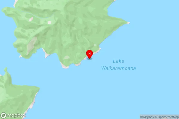
Lake WaikaremoanaPapaotehiwera Bay Area Map (Street)
Local Authority
Wairoa DistrictFull Address
Papaotehiwera Bay, Wairoa District, New ZealandAddress Type
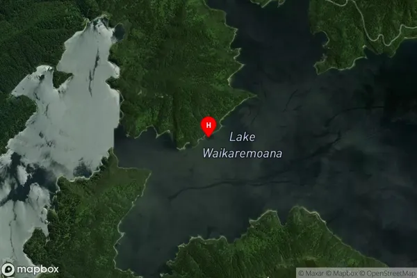
Inland BayPapaotehiwera Bay Suburb Map (Satellite)
Country
Main Region in AU
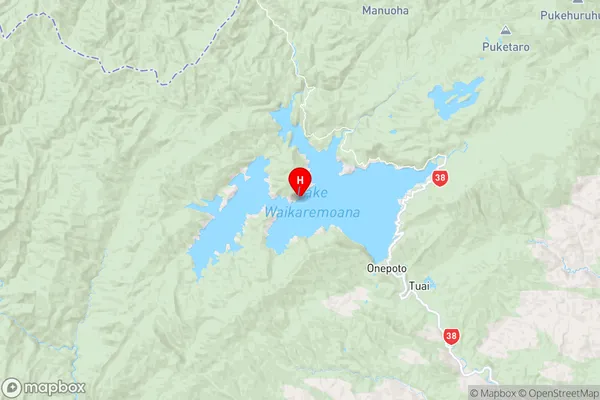
Hawke's BayPapaotehiwera Bay Region Map
Coordinates
-38.7666695,177.0629938 (latitude/longitude)Distances
The distance from Papaotehiwera Bay, , Wairoa District to NZ Top 10 Cities