Papanui Inlet Area, Papanui Inlet Postcode(9054) & Map in Papanui Inlet
Papanui Inlet Area, Papanui Inlet Postcode(9054) & Map in Papanui Inlet, Dunedin City, New Zealand
Papanui Inlet, Dunedin City, New Zealand
Papanui Inlet Postcodes
Papanui Inlet Area (estimated)
4.3 square kilometersPapanui Inlet Population (estimated)
0 people live in Papanui Inlet, Otago, NZPapanui Inlet Suburb Area Map (Polygon)
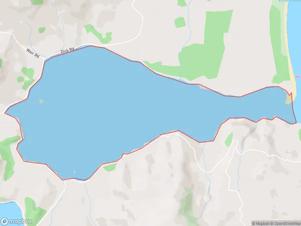
Papanui Inlet Introduction
Papanui Inlet is a small, shallow inlet located in the southern region of New Zealand's Otago Peninsula. It is situated between the towns of Dunedin and Oamaru and is known for its scenic beauty, including rugged cliffs, picturesque beaches, and abundant wildlife. The inlet is a popular spot for fishing, kayaking, and hiking, and is also home to a small community of residents.Region
Suburb Name
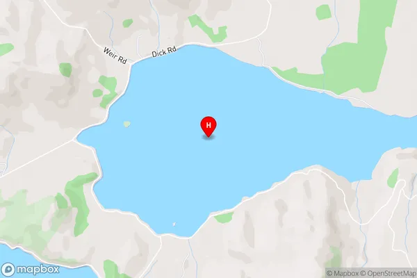
Papanui InletPapanui Inlet Area Map (Street)
Local Authority
Dunedin CityFull Address
Papanui Inlet, Dunedin City, New ZealandAddress Type
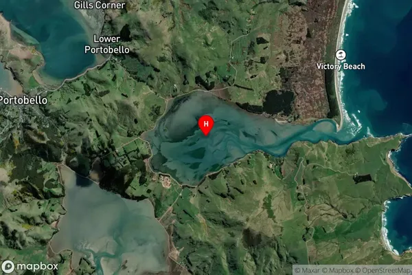
Coastal BayPapanui Inlet Suburb Map (Satellite)
Country
Main Region in AU
OtagoPapanui Inlet Region Map
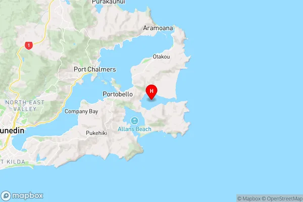
Coordinates
-45.8462072,170.6969876 (latitude/longitude)Distances
The distance from Papanui Inlet, , Dunedin City to NZ Top 10 Cities