Papahuia Bay Area, Papahuia Bay Postcode & Map in Papahuia Bay
Papahuia Bay Area, Papahuia Bay Postcode & Map in Papahuia Bay, Whangarei District, New Zealand
Papahuia Bay, Whangarei District, New Zealand
Papahuia Bay Area (estimated)
0.1 square kilometersPapahuia Bay Population (estimated)
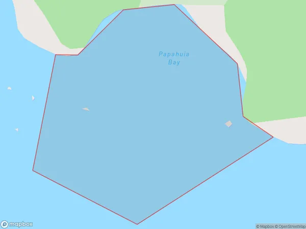
0 people live in Papahuia Bay, Northland, NZPapahuia Bay Suburb Area Map (Polygon)
Papahuia Bay Introduction
Papahuia Bay is a picturesque bay located in the Northland region of New Zealand. It is known for its crystal-clear waters, stunning coastal scenery, and diverse marine life. The bay is a popular spot for swimming, kayaking, and fishing, and is surrounded by lush rainforests and rugged mountains. It is also home to the Papahuia National Park, which offers a range of hiking and wildlife-watching opportunities.Region
Suburb Name
Papahuia BayOther Name(s)
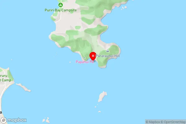
Whangaruru HarbourPapahuia Bay Area Map (Street)
Local Authority
Whangarei DistrictFull Address
Papahuia Bay, Whangarei District, New ZealandAddress Type
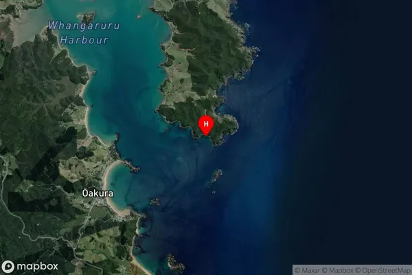
Coastal BayPapahuia Bay Suburb Map (Satellite)
Country
Main Region in AU
NorthlandPapahuia Bay Region Map

Coordinates
-35.3781305,174.3695639 (latitude/longitude)Distances
The distance from Papahuia Bay, , Whangarei District to NZ Top 10 Cities