Panmure Basin Area, Panmure Basin Postcode(1741) & Map in Panmure Basin
Panmure Basin Area, Panmure Basin Postcode(1741) & Map in Panmure Basin, Auckland, New Zealand
Panmure Basin, Auckland, New Zealand
Panmure Basin Postcodes
Panmure Basin Area (estimated)
0.6 square kilometersPanmure Basin Population (estimated)
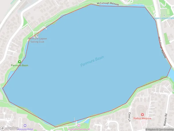
0 people live in Panmure Basin, Maungakiekie-Tāmaki, NZPanmure Basin Suburb Area Map (Polygon)
Panmure Basin Introduction
Panmure Basin is a large industrial area in Auckland, New Zealand. It is home to a number of major businesses, including the Port of Auckland, and is a major transportation hub for the region. The basin was formed by the construction of the Panmure Canal in the 1860s, and today it is a popular recreational area with a number of walking and cycling trails.Region
Major City
Suburb Name
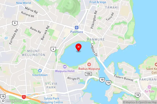
Panmure BasinPanmure Basin Area Map (Street)
Local Authority
AucklandFull Address
Panmure Basin, Auckland, New ZealandAddress Type
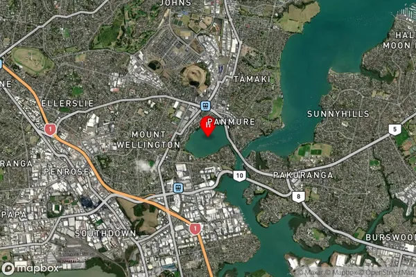
Coastal BayPanmure Basin Suburb Map (Satellite)
Country
Main Region in AU
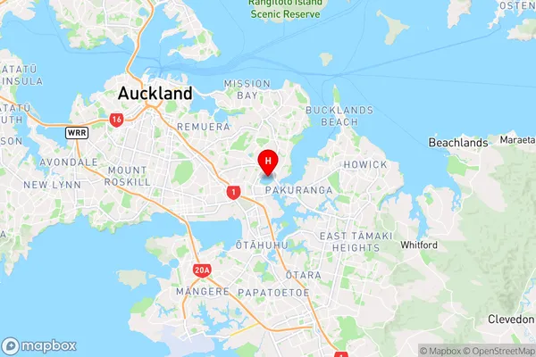
AucklandPanmure Basin Region Map
Coordinates
-36.9045439,174.8498967 (latitude/longitude)Distances
The distance from Panmure Basin, , Auckland to NZ Top 10 Cities