Pangopangoa Bay Area, Pangopangoa Bay Postcode(3010) & Map in Pangopangoa Bay
Pangopangoa Bay Area, Pangopangoa Bay Postcode(3010) & Map in Pangopangoa Bay, Rotorua District, New Zealand
Pangopangoa Bay, Rotorua District, New Zealand
Pangopangoa Bay Postcodes
Pangopangoa Bay Area (estimated)
0.0 square kilometersPangopangoa Bay Population (estimated)
0 people live in Pangopangoa Bay, Bay of Plenty, NZPangopangoa Bay Suburb Area Map (Polygon)
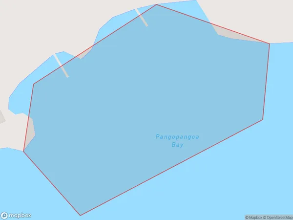
Pangopangoa Bay Introduction
Pangopangoa Bay is a picturesque beach located in the Bay of Plenty, New Zealand. It is known for its crystal-clear waters, white sand, and stunning coastal scenery. The bay is a popular spot for swimming, snorkeling, and kayaking, and it is surrounded by native forests and farmland. The bay has a peaceful and tranquil atmosphere, making it an ideal location for a relaxing holiday or weekend getaway.Region
Suburb Name
Pangopangoa BayOther Name(s)
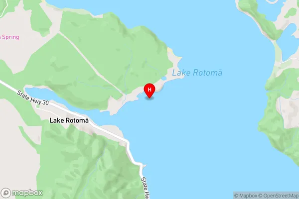
Lake Rotoma (Maori Name: Lake Rotomā)Pangopangoa Bay Area Map (Street)
Local Authority
Rotorua DistrictFull Address
Pangopangoa Bay, Rotorua District, New ZealandAddress Type
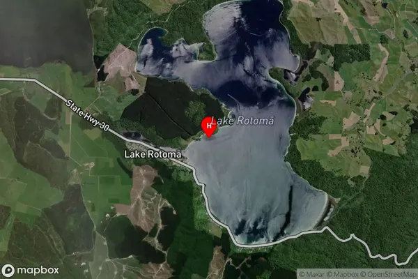
Inland BayPangopangoa Bay Suburb Map (Satellite)
Country
Main Region in AU
Bay of PlentyPangopangoa Bay Region Map
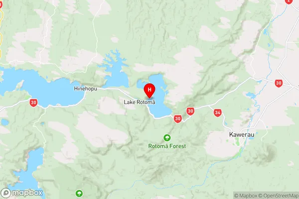
Coordinates
-38.0476677,176.576332 (latitude/longitude)Distances
The distance from Pangopangoa Bay, , Rotorua District to NZ Top 10 Cities