Palliser Bay Area, Palliser Bay Postcode & Map in Palliser Bay
Palliser Bay Area, Palliser Bay Postcode & Map in Palliser Bay, Area outside Territorial Authority, New Zealand
Palliser Bay, Area outside Territorial Authority, New Zealand
Palliser Bay Area (estimated)
357.1 square kilometersPalliser Bay Population (estimated)
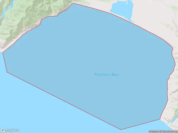
0 people live in Palliser Bay, Wellington, NZPalliser Bay Suburb Area Map (Polygon)
Palliser Bay Introduction
Palliser Bay is a popular beach in Wellington, New Zealand, known for its calm waters and stunning views of the city skyline. It is a popular spot for swimming, sunbathing, and watersports, and is located just a short drive from the city center. The bay is also home to a large number of restaurants and cafes, making it a popular destination for locals and tourists alike.Region
Suburb Name
Palliser BayPalliser Bay Area Map (Street)

Local Authority
Area outside Territorial AuthorityFull Address
Palliser Bay, Area outside Territorial Authority, New ZealandAddress Type
Coastal BayPalliser Bay Suburb Map (Satellite)

Country
Main Region in AU
WellingtonPalliser Bay Region Map

Coordinates
-41.4907835,175.112481663707 (latitude/longitude)Distances
The distance from Palliser Bay, , Area outside Territorial Authority to NZ Top 10 Cities