Pakahakaha Bay Area, Pakahakaha Bay Postcode(3620) & Map in Pakahakaha Bay
Pakahakaha Bay Area, Pakahakaha Bay Postcode(3620) & Map in Pakahakaha Bay, Area outside Territorial Authority, New Zealand
Pakahakaha Bay, Area outside Territorial Authority, New Zealand
Pakahakaha Bay Postcodes
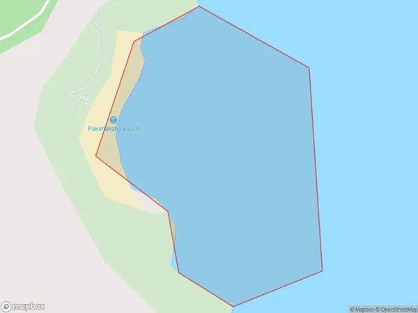
Pakahakaha Bay Area (estimated)
0.1 square kilometersPakahakaha Bay Population (estimated)
0 people live in Pakahakaha Bay, Waikato, NZPakahakaha Bay Suburb Area Map (Polygon)
Pakahakaha Bay Introduction
Waikato's Pakahakaha Bay is a popular beach destination. It has a peaceful atmosphere, beautiful sand, and clear waters. The bay is surrounded by native bush and offers a range of activities, including swimming, kayaking, and fishing. There are also several walking tracks and picnic spots nearby. Pakahakaha Bay is a great place to relax and enjoy the natural beauty of Waikato.Region
Suburb Name
Pakahakaha BayOther Name(s)
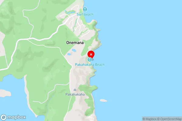
Bay Of PlentyPakahakaha Bay Area Map (Street)
Local Authority
Area outside Territorial AuthorityFull Address
Pakahakaha Bay, Area outside Territorial Authority, New ZealandAddress Type
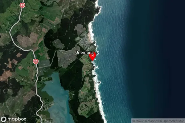
Coastal BayPakahakaha Bay Suburb Map (Satellite)
Country
Main Region in AU
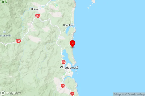
WaikatoPakahakaha Bay Region Map
Coordinates
-37.1618479,175.8815425 (latitude/longitude)Distances
The distance from Pakahakaha Bay, , Area outside Territorial Authority to NZ Top 10 Cities