Paengaroa Bay Area, Paengaroa Bay Postcode(4087) & Map in Paengaroa Bay
Paengaroa Bay Area, Paengaroa Bay Postcode(4087) & Map in Paengaroa Bay, Area outside Territorial Authority, New Zealand
Paengaroa Bay, Area outside Territorial Authority, New Zealand
Paengaroa Bay Postcodes
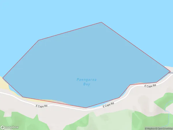
Paengaroa Bay Area (estimated)
0.7 square kilometersPaengaroa Bay Population (estimated)
0 people live in Paengaroa Bay, Gisborne, NZPaengaroa Bay Suburb Area Map (Polygon)
Paengaroa Bay Introduction
Paengaroa Bay is a picturesque beach located in the Gisborne region of New Zealand. It is known for its crystal-clear waters, stunning coastal scenery, and diverse marine life. The bay is a popular spot for swimming, snorkeling, and kayaking, and it is also home to a small community of residents. The bay is surrounded by lush green hills and is located within the Paengaroa Forest Park, which offers a range of hiking and walking trails.Region
Suburb Name
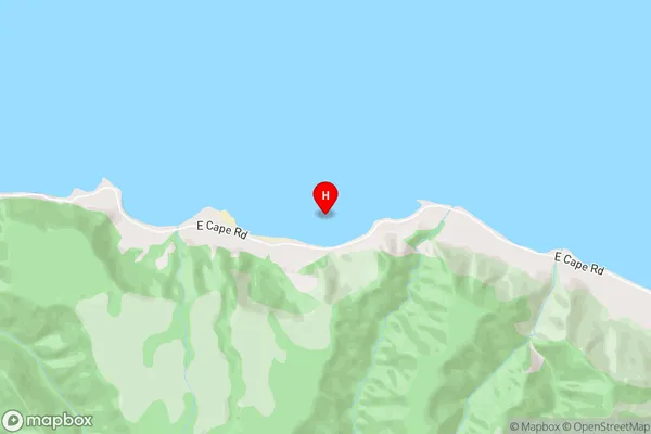
Paengaroa BayPaengaroa Bay Area Map (Street)
Local Authority
Area outside Territorial AuthorityFull Address
Paengaroa Bay, Area outside Territorial Authority, New ZealandAddress Type
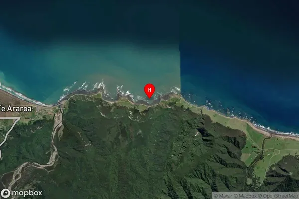
Coastal BayPaengaroa Bay Suburb Map (Satellite)
Country
Main Region in AU
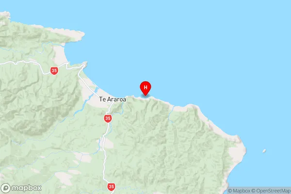
GisbornePaengaroa Bay Region Map
Coordinates
-37.630577,178.4076112 (latitude/longitude)Distances
The distance from Paengaroa Bay, , Area outside Territorial Authority to NZ Top 10 Cities