Oyster Bay Area, Oyster Bay Postcode & Map in Oyster Bay
Oyster Bay Area, Oyster Bay Postcode & Map in Oyster Bay, Marlborough District, New Zealand
Oyster Bay, Marlborough District, New Zealand
Oyster Bay Area (estimated)
0.5 square kilometersOyster Bay Population (estimated)
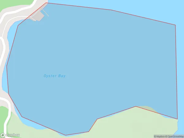
0 people live in Oyster Bay, Marlborough, NZOyster Bay Suburb Area Map (Polygon)
Oyster Bay Introduction
Oyster Bay is a picturesque coastal village located in Marlborough, New Zealand. It is known for its stunning beaches, clear waters, and vibrant marine life. The village has a population of around 2,000 people and is a popular destination for tourists and locals alike. It is surrounded by lush vineyards and picturesque countryside, and offers a range of activities such as fishing, hiking, and kayaking.Region
Suburb Name
Oyster BayOther Name(s)
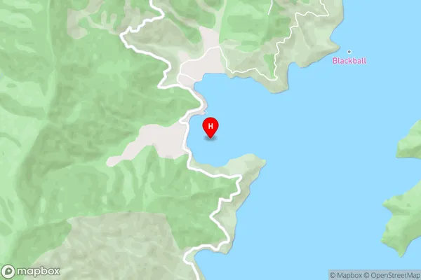
Port Underwood, Cook StraitOyster Bay Area Map (Street)
Local Authority
Marlborough DistrictFull Address
Oyster Bay, Marlborough District, New ZealandAddress Type
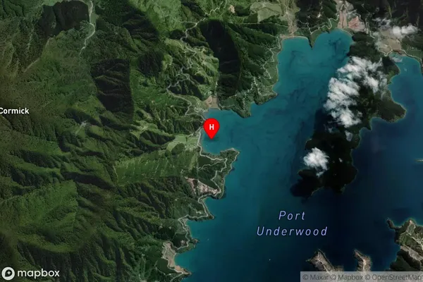
Coastal BayOyster Bay Suburb Map (Satellite)
Country
Main Region in AU
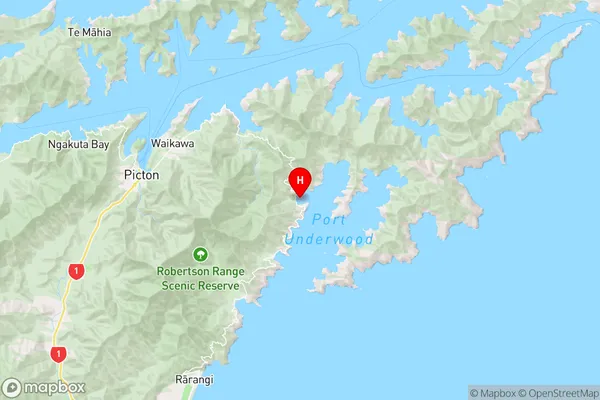
MarlboroughOyster Bay Region Map
Coordinates
-41.303875,174.1157501 (latitude/longitude)Distances
The distance from Oyster Bay, , Marlborough District to NZ Top 10 Cities