Kyeburn Diggings Area, Kyeburn Diggings Postcode & Map in Kyeburn Diggings
Kyeburn Diggings Area, Kyeburn Diggings Postcode & Map in Kyeburn Diggings, Central Otago District, New Zealand
Kyeburn Diggings, Central Otago District, New Zealand
Kyeburn Diggings Area (estimated)
154.9 square kilometersKyeburn Diggings Population (estimated)
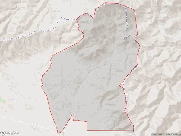
29 people live in Kyeburn Diggings, Otago, NZKyeburn Diggings Suburb Area Map (Polygon)
Kyeburn Diggings Introduction
The Kyeburn Diggings were a gold mining settlement in the Otago region of New Zealand. Established in 1862, the diggings were a major source of gold for the area until their closure in 1896. The settlement was known for its rough and rugged terrain, and its population was made up of a mix of miners, prospectors, and their families. Today, the site is a popular tourist destination and a reminder of the rich mining history of the Otago region.Region
0Suburb Name
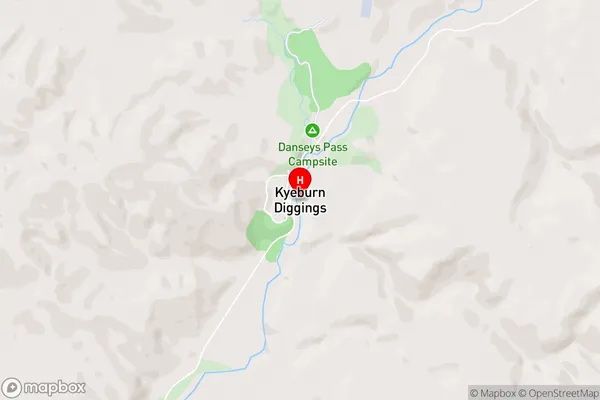
Kyeburn DiggingsKyeburn Diggings Area Map (Street)
Local Authority
Central Otago DistrictFull Address
Kyeburn Diggings, Central Otago District, New ZealandAddress Type
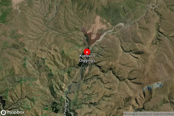
Locality in Major Locality KyeburnKyeburn Diggings Suburb Map (Satellite)
Country
Main Region in AU
OtagoKyeburn Diggings Region Map

Coordinates
-44.9882542,170.2868856 (latitude/longitude)Distances
The distance from Kyeburn Diggings, Kyeburn, Central Otago District to NZ Top 10 Cities