Otuwhero Inlet Area, Otuwhero Inlet Postcode(7197) & Map in Otuwhero Inlet
Otuwhero Inlet Area, Otuwhero Inlet Postcode(7197) & Map in Otuwhero Inlet, Tasman District, New Zealand
Otuwhero Inlet, Tasman District, New Zealand
Otuwhero Inlet Postcodes
Otuwhero Inlet Area (estimated)
0.8 square kilometersOtuwhero Inlet Population (estimated)
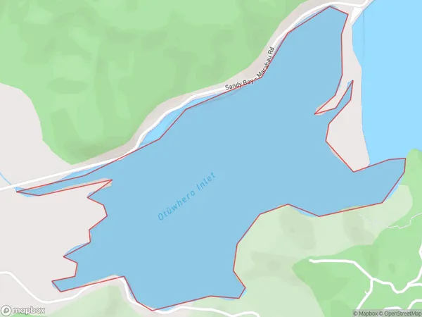
0 people live in Otuwhero Inlet, Tasman, NZOtuwhero Inlet Suburb Area Map (Polygon)
Otuwhero Inlet Introduction
Otuwhero Inlet is a small inlet located in the Tasman region of New Zealand. It is known for its stunning natural beauty, including rugged cliffs, crystal-clear waters, and abundant wildlife. The inlet is a popular spot for fishing, kayaking, and hiking, and is surrounded by lush forests and picturesque farmland. The area is also home to the Otuwhero Stone Fort, a historic Maori settlement that dates back to the 13th century.Region
Suburb Name
Otuwhero Inlet (Maori Name: Otūwhero Inlet)Other Name(s)
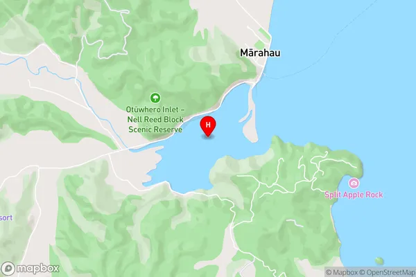
Sandy Bay, Tasman BayOtuwhero Inlet Area Map (Street)
Local Authority
Tasman DistrictFull Address
Otuwhero Inlet, Tasman District, New ZealandAddress Type
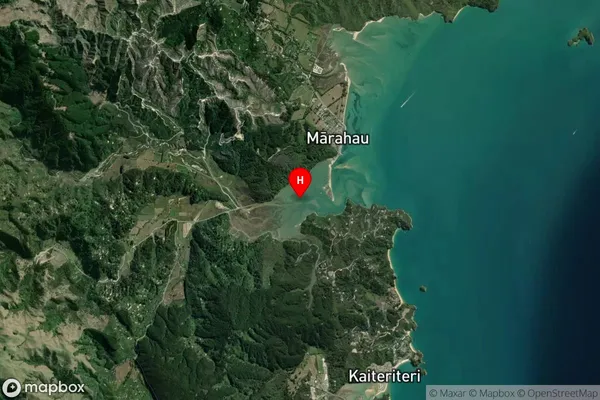
Coastal BayOtuwhero Inlet Suburb Map (Satellite)
Country
Main Region in AU
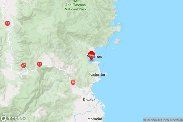
TasmanOtuwhero Inlet Region Map
Coordinates
-41.01415815,173.002173864532 (latitude/longitude)Distances
The distance from Otuwhero Inlet, , Tasman District to NZ Top 10 Cities