Oturu Bay Area, Oturu Bay Postcode(0153) & Map in Oturu Bay
Oturu Bay Area, Oturu Bay Postcode(0153) & Map in Oturu Bay, Whangarei District, New Zealand
Oturu Bay, Whangarei District, New Zealand
Oturu Bay Postcodes
Oturu Bay Area (estimated)
0.1 square kilometersOturu Bay Population (estimated)
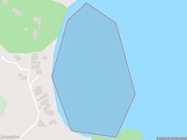
0 people live in Oturu Bay, Northland, NZOturu Bay Suburb Area Map (Polygon)
Oturu Bay Introduction
Oturu Bay is a picturesque bay located in the Northland region of New Zealand. It is known for its stunning natural beauty, including rugged cliffs, pristine beaches, and crystal-clear waters. The bay is a popular spot for swimming, kayaking, and fishing, and it is also home to a small community of residents. The area is rich in cultural heritage, with several historic sites and landmarks nearby.Region
Suburb Name
Oturu BayOther Name(s)
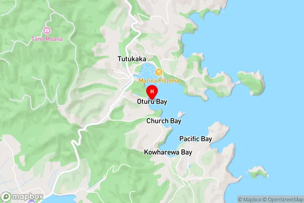
Tutukaka HarbourOturu Bay Area Map (Street)
Local Authority
Whangarei DistrictFull Address
Oturu Bay, Whangarei District, New ZealandAddress Type
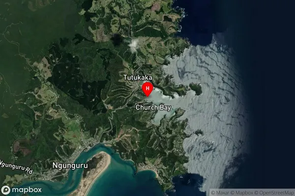
Coastal BayOturu Bay Suburb Map (Satellite)
Country
Main Region in AU
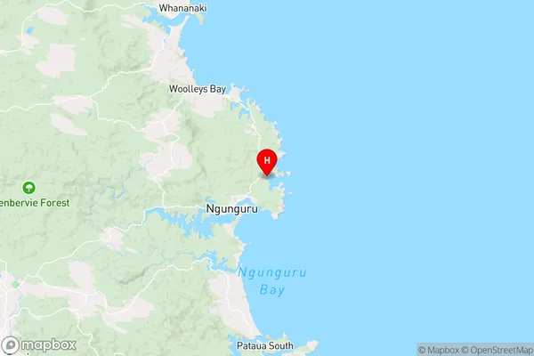
NorthlandOturu Bay Region Map
Coordinates
-35.6141854,174.5278442 (latitude/longitude)Distances
The distance from Oturu Bay, , Whangarei District to NZ Top 10 Cities