Oteranga Bay Area, Oteranga Bay Postcode & Map in Oteranga Bay
Oteranga Bay Area, Oteranga Bay Postcode & Map in Oteranga Bay, Area outside Territorial Authority, New Zealand
Oteranga Bay, Area outside Territorial Authority, New Zealand
Oteranga Bay Area (estimated)
1.1 square kilometersOteranga Bay Population (estimated)
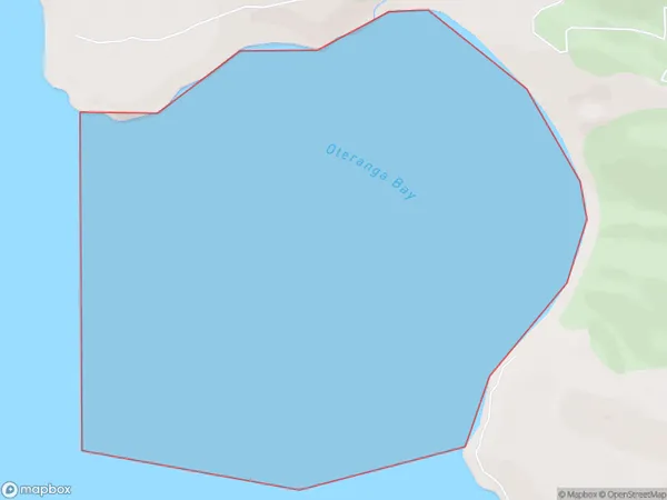
0 people live in Oteranga Bay, Wellington, NZOteranga Bay Suburb Area Map (Polygon)
Oteranga Bay Introduction
Oteranga Bay is a popular beach located in Wellington, New Zealand. It is known for its calm waters, stunning sunsets, and beautiful surroundings. The bay is a popular spot for swimming, sunbathing, and water sports such as kayaking and paddleboarding. It is also home to a small community of residents and a popular restaurant.Region
Suburb Name
Oteranga BayOther Name(s)
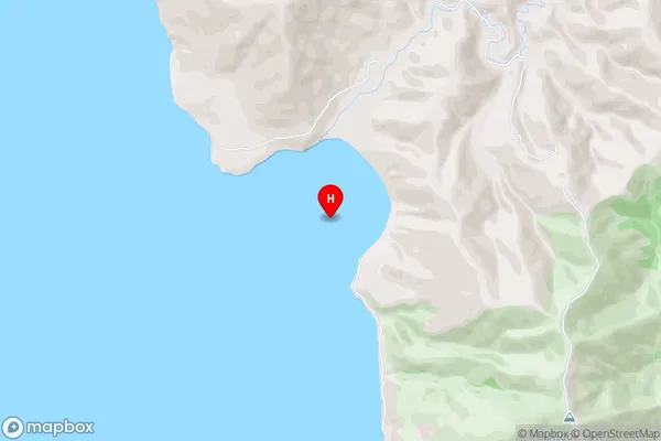
Cook StraitOteranga Bay Area Map (Street)
Local Authority
Area outside Territorial AuthorityFull Address
Oteranga Bay, Area outside Territorial Authority, New ZealandAddress Type
Coastal BayOteranga Bay Suburb Map (Satellite)

Country
Main Region in AU
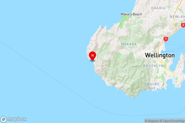
WellingtonOteranga Bay Region Map
Coordinates
-41.29928525,174.627267250458 (latitude/longitude)Distances
The distance from Oteranga Bay, , Area outside Territorial Authority to NZ Top 10 Cities