Otautu Bay Area, Otautu Bay Postcode(3584) & Map in Otautu Bay
Otautu Bay Area, Otautu Bay Postcode(3584) & Map in Otautu Bay, Thames-Coromandel District, New Zealand
Otautu Bay, Thames-Coromandel District, New Zealand
Otautu Bay Postcodes
Otautu Bay Area (estimated)
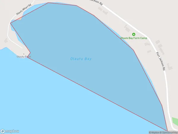
0.3 square kilometersOtautu Bay Population (estimated)
0 people live in Otautu Bay, Waikato, NZOtautu Bay Suburb Area Map (Polygon)
Otautu Bay Introduction
Otautu Bay is a picturesque bay located in the Waikato region of New Zealand. It is known for its clear waters, sandy beaches, and stunning coastal scenery. The bay is a popular spot for swimming, boating, and fishing, and is home to a variety of wildlife, including penguins and seals. The bay is also a significant historical site, with several ancient Māori settlements located along its shores.Region
Suburb Name
Otautu BayOther Name(s)
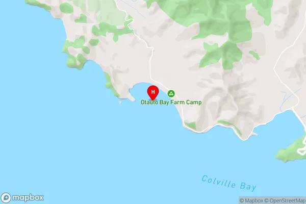
Colville Bay, Hauraki GulfOtautu Bay Area Map (Street)
Local Authority
Thames-Coromandel DistrictFull Address
Otautu Bay, Thames-Coromandel District, New ZealandAddress Type
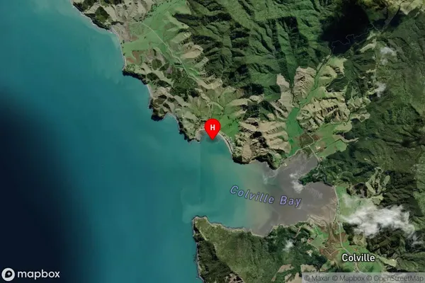
Coastal BayOtautu Bay Suburb Map (Satellite)
Country
Main Region in AU
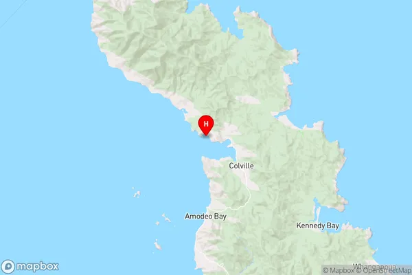
WaikatoOtautu Bay Region Map
Coordinates
-36.611015,175.4419613 (latitude/longitude)Distances
The distance from Otautu Bay, , Thames-Coromandel District to NZ Top 10 Cities