Kyeburn Area, Kyeburn Postcode & Map in Kyeburn
Kyeburn Area, Kyeburn Postcode & Map in Kyeburn, Central Otago District, New Zealand
Kyeburn, Central Otago District, New Zealand
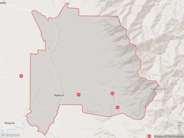
Kyeburn Area (estimated)
272.8 square kilometersKyeburn Population (estimated)
60 people live in Kyeburn, Otago, NZKyeburn Suburb Area Map (Polygon)
Kyeburn Introduction
Kyeburn is a small rural town in Otago, New Zealand, located on the banks of the Kyeburn River. It was established in the 1860s and is known for its historic buildings and scenic surroundings. The town has a population of around 100 people and is a popular destination for tourists who enjoy hiking, fishing, and hunting.Region
0Suburb Name
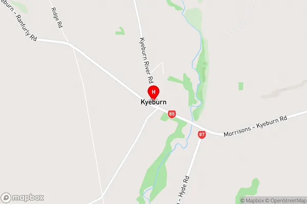
KyeburnKyeburn Area Map (Street)
Local Authority
Central Otago DistrictFull Address
Kyeburn, Central Otago District, New ZealandAddress Type
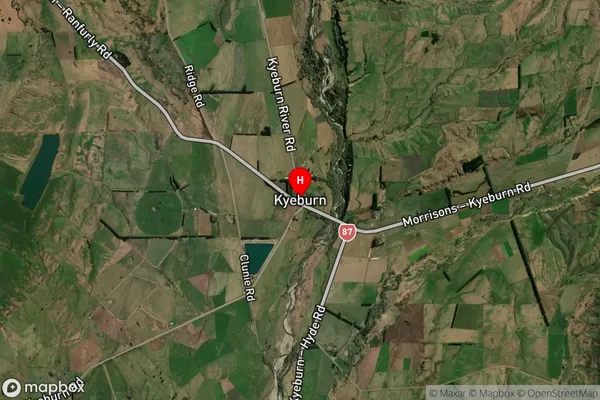
Locality in Major Locality KyeburnKyeburn Suburb Map (Satellite)
Country
Main Region in AU
OtagoKyeburn Region Map

Coordinates
-45.1465511,170.2555776 (latitude/longitude)Distances
The distance from Kyeburn, Kyeburn, Central Otago District to NZ Top 10 Cities