Avonhead Area, Avonhead Postcode(8042) & Map in Avonhead
Avonhead Area, Avonhead Postcode(8042) & Map in Avonhead, Christchurch City, New Zealand
Avonhead, Christchurch City, New Zealand
Avonhead Postcodes
Avonhead Area (estimated)
6.2 square kilometersAvonhead Population (estimated)
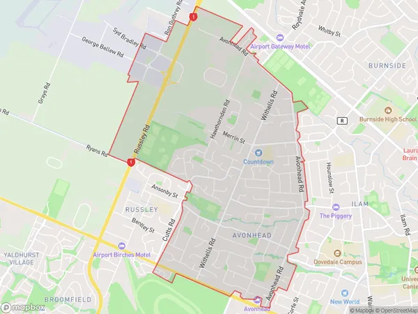
10622 people live in Avonhead, Christchurch, NZAvonhead Suburb Area Map (Polygon)
Avonhead Introduction
Avonhead is a suburb of Christchurch, New Zealand. It is located in the city's eastern suburbs, approximately 7 kilometers from the central business district. The suburb was named after the Avon River, which flows through it. Avonhead has a population of around 3,500 people and is known for its peaceful atmosphere, scenic parks, and well-maintained homes. It is also home to a variety of retail stores, restaurants, and recreational facilities, including a golf course and a swimming pool.Region
Major City
Suburb Name
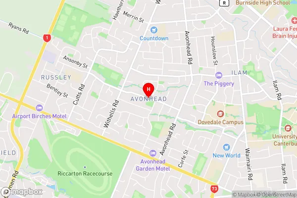
AvonheadAvonhead Area Map (Street)
Local Authority
Christchurch CityFull Address
Avonhead, Christchurch City, New ZealandAddress Type
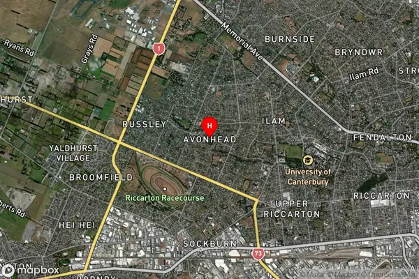
Suburb in City ChristchurchAvonhead Suburb Map (Satellite)
Country
Main Region in AU
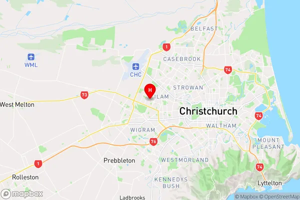
CanterburyAvonhead Region Map
Coordinates
-43.5198723,172.5563302 (latitude/longitude)Distances
The distance from Avonhead, Christchurch, Christchurch City to NZ Top 10 Cities