Otautu Bay Area, Otautu Bay Postcode(3010) & Map in Otautu Bay
Otautu Bay Area, Otautu Bay Postcode(3010) & Map in Otautu Bay, Rotorua District, New Zealand
Otautu Bay, Rotorua District, New Zealand
Otautu Bay Postcodes
Otautu Bay Area (estimated)
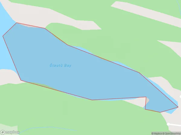
0.2 square kilometersOtautu Bay Population (estimated)
0 people live in Otautu Bay, Bay of Plenty, NZOtautu Bay Suburb Area Map (Polygon)
Otautu Bay Introduction
Otautu Bay is a picturesque bay in the Bay of Plenty, New Zealand. It is known for its clear waters, sandy beaches, and stunning coastal scenery. The bay is a popular destination for swimming, fishing, and boating, and is home to a variety of marine life, including dolphins, whales, and seals. The bay is also home to a historic lighthouse, which was built in 1879 to guide ships into the bay.Region
Suburb Name
Otautu Bay (Maori Name: Ōtautū Bay)Other Name(s)
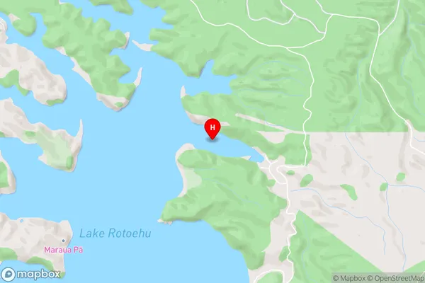
Lake RotoehuOtautu Bay Area Map (Street)
Local Authority
Rotorua DistrictFull Address
Otautu Bay, Rotorua District, New ZealandAddress Type
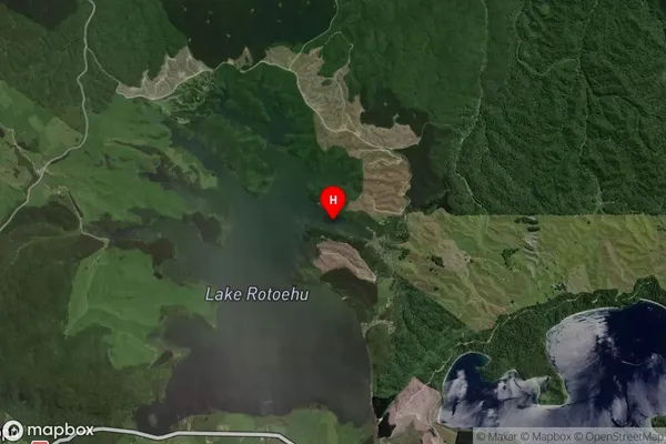
Inland BayOtautu Bay Suburb Map (Satellite)
Country
Main Region in AU
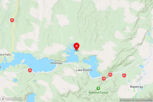
Bay of PlentyOtautu Bay Region Map
Coordinates
-38.0101581,176.5418245 (latitude/longitude)Distances
The distance from Otautu Bay, , Rotorua District to NZ Top 10 Cities