Otarawhai Bay Area, Otarawhai Bay Postcode & Map in Otarawhai Bay
Otarawhai Bay Area, Otarawhai Bay Postcode & Map in Otarawhai Bay, Area outside Territorial Authority, New Zealand
Otarawhai Bay, Area outside Territorial Authority, New Zealand
Otarawhai Bay Area (estimated)
0.1 square kilometersOtarawhai Bay Population (estimated)
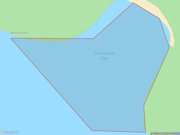
0 people live in Otarawhai Bay, Northland, NZOtarawhai Bay Suburb Area Map (Polygon)
Otarawhai Bay Introduction
Otarawhai Bay is a small bay located in the Northland region of New Zealand. It is known for its stunning natural beauty, including crystal-clear waters, rugged cliffs, and lush forests. The bay is a popular spot for swimming, kayaking, and fishing, and is home to a variety of marine species. It is also a popular destination for tourists who want to explore the natural wonders of Northland.Region
Suburb Name
Otarawhai BayOther Name(s)
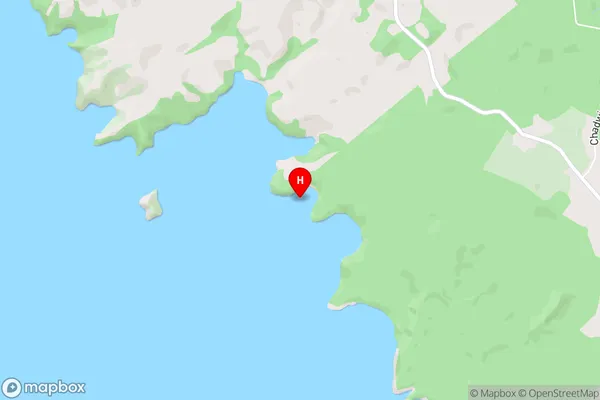
Kaipara HarbourOtarawhai Bay Area Map (Street)
Local Authority
Area outside Territorial AuthorityFull Address
Otarawhai Bay, Area outside Territorial Authority, New ZealandAddress Type
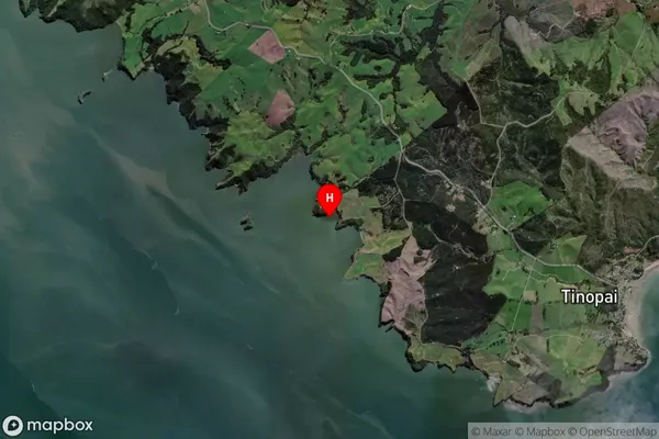
Coastal BayOtarawhai Bay Suburb Map (Satellite)
Country
Main Region in AU
NorthlandOtarawhai Bay Region Map

Coordinates
-36.2399534,174.201572 (latitude/longitude)Distances
The distance from Otarawhai Bay, , Area outside Territorial Authority to NZ Top 10 Cities