Otarawao Bay Area, Otarawao Bay Postcode & Map in Otarawao Bay
Otarawao Bay Area, Otarawao Bay Postcode & Map in Otarawao Bay, Marlborough District, New Zealand
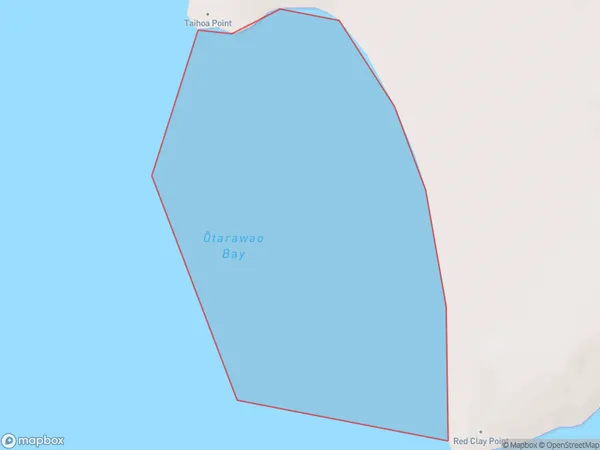
Otarawao Bay, Marlborough District, New Zealand
Otarawao Bay Area (estimated)
0.4 square kilometersOtarawao Bay Population (estimated)
0 people live in Otarawao Bay, Marlborough, NZOtarawao Bay Suburb Area Map (Polygon)
Otarawao Bay Introduction
Otarawao Bay is a picturesque and peaceful bay located in Marlborough, New Zealand. It is known for its clear waters, stunning coastal scenery, and diverse marine life. The bay is a popular spot for swimming, kayaking, and fishing, and it is also home to a small community of residents. The bay is surrounded by lush green hills and vineyards, and it offers a peaceful and tranquil escape from the hustle and bustle of city life.Region
Suburb Name
Otarawao Bay (Maori Name: Ōtarawao Bay)Other Name(s)
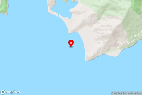
Croisilles HarbourOtarawao Bay Area Map (Street)
Local Authority
Marlborough DistrictFull Address
Otarawao Bay, Marlborough District, New ZealandAddress Type
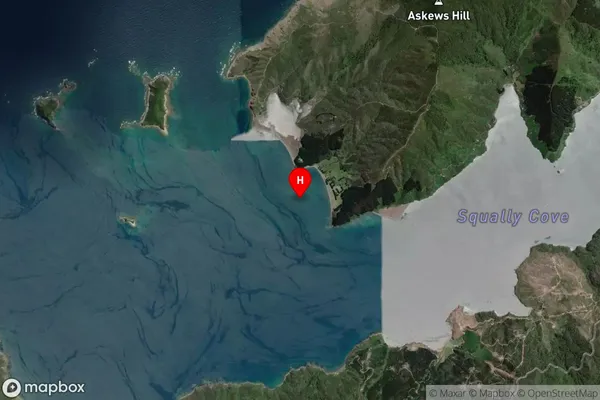
Coastal BayOtarawao Bay Suburb Map (Satellite)
Country
Main Region in AU
MarlboroughOtarawao Bay Region Map

Coordinates
-41.0527029,173.6836434 (latitude/longitude)Distances
The distance from Otarawao Bay, , Marlborough District to NZ Top 10 Cities