Otangimoana Bay Area, Otangimoana Bay Postcode(3010) & Map in Otangimoana Bay
Otangimoana Bay Area, Otangimoana Bay Postcode(3010) & Map in Otangimoana Bay, Rotorua District, New Zealand
Otangimoana Bay, Rotorua District, New Zealand
Otangimoana Bay Postcodes
Otangimoana Bay Area (estimated)
1.1 square kilometersOtangimoana Bay Population (estimated)
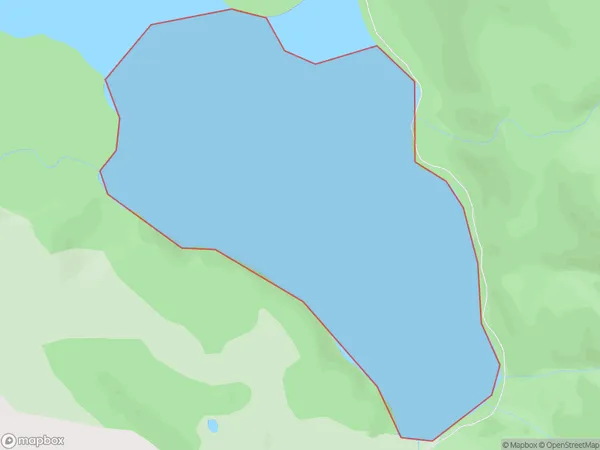
0 people live in Otangimoana Bay, Bay of Plenty, NZOtangimoana Bay Suburb Area Map (Polygon)
Otangimoana Bay Introduction
Otangimoana Bay is a picturesque bay located in the Bay of Plenty, New Zealand. It is known for its clear waters, stunning beaches, and diverse marine life. The bay is a popular spot for swimming, snorkeling, and kayaking, and is home to a variety of bird species, including the rare New Zealand green-lipped mussel. The bay is also surrounded by picturesque farmland and rural communities, making it a popular destination for tourists and locals alike.Region
Suburb Name
Otangimoana Bay (Maori Name: Ōtangimoana Bay)Other Name(s)
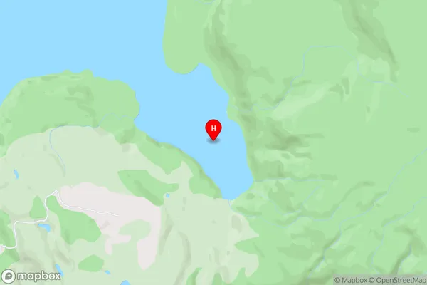
Lake Okataina / Te Moana i kataina a Te Rangitakaroro, Lake Okataina/Te Moana i kataina a Te Rangitakaroro (Maori Name: Lake Okataina / Te Moana i kataina a Te Rangitakaroro, Lake Ōkataina/Te Moana i kataina ā Te Rangitakaroro)Otangimoana Bay Area Map (Street)
Local Authority
Rotorua DistrictFull Address
Otangimoana Bay, Rotorua District, New ZealandAddress Type
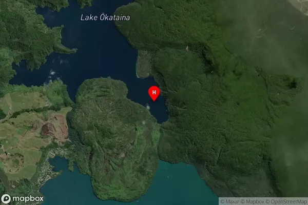
Inland BayOtangimoana Bay Suburb Map (Satellite)
Country
Main Region in AU
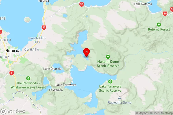
Bay of PlentyOtangimoana Bay Region Map
Coordinates
-38.1510394,176.4281253 (latitude/longitude)Distances
The distance from Otangimoana Bay, , Rotorua District to NZ Top 10 Cities