Kuriwao Area, Kuriwao Postcode & Map in Kuriwao
Kuriwao Area, Kuriwao Postcode & Map in Kuriwao, Clutha District, New Zealand
Kuriwao, Clutha District, New Zealand
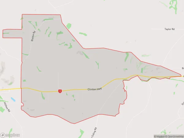
Kuriwao Area (estimated)
19.7 square kilometersKuriwao Population (estimated)
33 people live in Kuriwao, Otago, NZKuriwao Suburb Area Map (Polygon)
Kuriwao Introduction
Kuriwao is a small rural community located in the Clinton district of Otago, New Zealand. It is known for its picturesque rural setting, stunning mountain views, and friendly local community. The area is popular with outdoor enthusiasts and nature lovers, with many opportunities for hiking, mountain biking, and fishing. The community also has a small primary school and a community hall.Region
Major City
Suburb Name
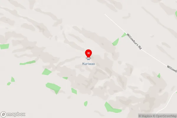
KuriwaoKuriwao Area Map (Street)
Local Authority
Clutha DistrictFull Address
Kuriwao, Clutha District, New ZealandAddress Type
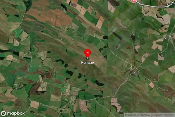
Locality in Town ClintonKuriwao Suburb Map (Satellite)
Country
Main Region in AU
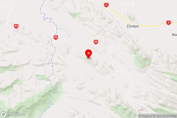
OtagoKuriwao Region Map
Coordinates
-46.2548797,169.2723679 (latitude/longitude)Distances
The distance from Kuriwao, Clinton, Clutha District to NZ Top 10 Cities