Oruruhoa Bay Area, Oruruhoa Bay Postcode & Map in Oruruhoa Bay
Oruruhoa Bay Area, Oruruhoa Bay Postcode & Map in Oruruhoa Bay, Far North District, New Zealand
Oruruhoa Bay, Far North District, New Zealand
Oruruhoa Bay Area (estimated)
0.1 square kilometersOruruhoa Bay Population (estimated)
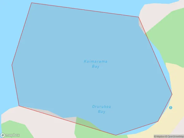
0 people live in Oruruhoa Bay, Bay of Islands-Whangaroa Community, NZOruruhoa Bay Suburb Area Map (Polygon)
Oruruhoa Bay Introduction
Oruruhoa Bay is located in the Bay of Islands, Northland, New Zealand. It is a popular tourist destination and is known for its clear waters, sandy beaches, and stunning coastal scenery. The bay is surrounded by picturesque islands and is home to a variety of marine life, including dolphins, whales, and seals. Visitors can explore the bay by boat, kayak, or hiking and enjoy activities such as snorkeling, fishing, and swimming.Region
Major City
Suburb Name
Oruruhoa BayOther Name(s)
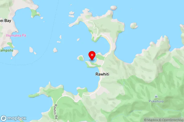
Te Rawhiti Inlet, Bay Of Islands, Kaimarama BayOruruhoa Bay Area Map (Street)
Local Authority
Far North DistrictFull Address
Oruruhoa Bay, Far North District, New ZealandAddress Type
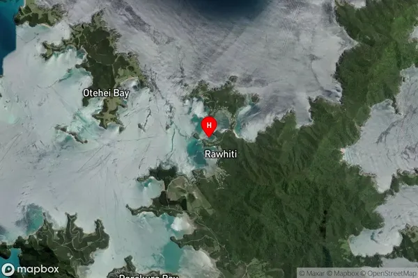
Coastal BayOruruhoa Bay Suburb Map (Satellite)
Country
Main Region in AU
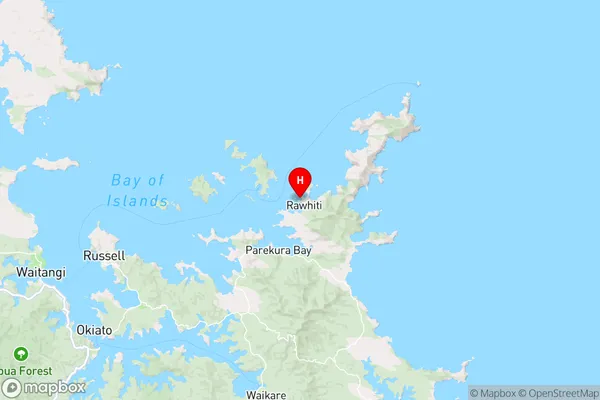
NorthlandOruruhoa Bay Region Map
Coordinates
-35.2300357,174.2582377 (latitude/longitude)Distances
The distance from Oruruhoa Bay, , Far North District to NZ Top 10 Cities