Orongo Bay Area, Orongo Bay Postcode(0202) & Map in Orongo Bay
Orongo Bay Area, Orongo Bay Postcode(0202) & Map in Orongo Bay, Far North District, New Zealand
Orongo Bay, Far North District, New Zealand
Orongo Bay Postcodes
Orongo Bay Area (estimated)
1.4 square kilometersOrongo Bay Population (estimated)
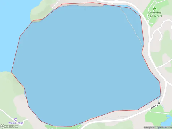
2 people live in Orongo Bay, Bay of Islands-Whangaroa Community, NZOrongo Bay Suburb Area Map (Polygon)
Orongo Bay Introduction
Orongo Bay is a small bay and village in the Northland region of New Zealand. It is known for its ancient stone carvings, which are believed to be up to 1,000 years old. The bay is also home to a small population of native birds, including the rare Northland brown kiwi.Region
Major City
Suburb Name
Orongo BayOther Name(s)
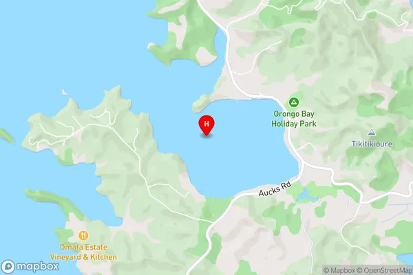
Pomare Bay, Bay Of IslandsOrongo Bay Area Map (Street)
Local Authority
Far North DistrictFull Address
Orongo Bay, Far North District, New ZealandAddress Type
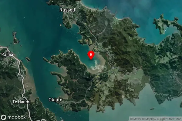
Coastal BayOrongo Bay Suburb Map (Satellite)
Country
Main Region in AU
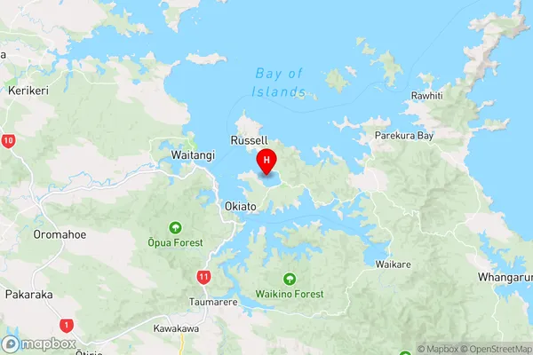
NorthlandOrongo Bay Region Map
Coordinates
-35.2847227,174.1370988 (latitude/longitude)Distances
The distance from Orongo Bay, , Far North District to NZ Top 10 Cities