Orokawa Bay Area, Orokawa Bay Postcode & Map in Orokawa Bay
Orokawa Bay Area, Orokawa Bay Postcode & Map in Orokawa Bay, Far North District, New Zealand
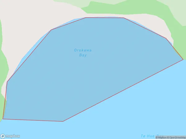
Orokawa Bay, Far North District, New Zealand
Orokawa Bay Area (estimated)
0.3 square kilometersOrokawa Bay Population (estimated)
0 people live in Orokawa Bay, Bay of Islands-Whangaroa Community, NZOrokawa Bay Suburb Area Map (Polygon)
Orokawa Bay Introduction
Orokawa Bay is a picturesque bay located in Northland, New Zealand. It is surrounded by stunning natural scenery, including rugged cliffs, dense forests, and pristine beaches. The bay is a popular spot for fishing, kayaking, and swimming, and it is home to a variety of marine species, including dolphins, whales, and seals. Orokawa Bay is also a significant cultural site for the local Maori people, with several important archaeological sites located within its boundaries.Region
Major City
Suburb Name
Orokawa BayOther Name(s)
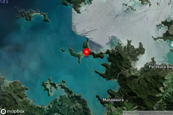
Te Rawhiti Inlet, Bay Of IslandsOrokawa Bay Area Map (Street)

Local Authority
Far North DistrictFull Address
Orokawa Bay, Far North District, New ZealandAddress Type
Coastal BayOrokawa Bay Suburb Map (Satellite)
Country
Main Region in AU
NorthlandOrokawa Bay Region Map

Coordinates
-35.2537467,174.1988628 (latitude/longitude)Distances
The distance from Orokawa Bay, , Far North District to NZ Top 10 Cities