Kumutoto Bay Area, Kumutoto Bay Postcode & Map in Kumutoto Bay
Kumutoto Bay Area, Kumutoto Bay Postcode & Map in Kumutoto Bay, Marlborough District, New Zealand
Kumutoto Bay, Marlborough District, New Zealand
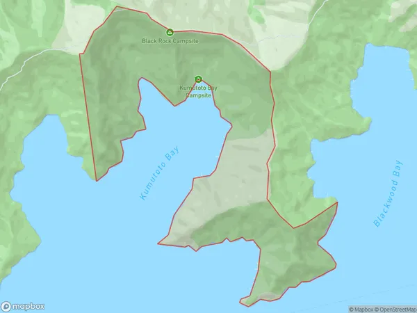
Kumutoto Bay Area (estimated)
5.0 square kilometersKumutoto Bay Population (estimated)
6 people live in Kumutoto Bay, Marlborough, NZKumutoto Bay Suburb Area Map (Polygon)
Kumutoto Bay Introduction
Kumutoto Bay is a hidden gem in the Marlborough Sounds, New Zealand. It is surrounded by lush forests and offers a peaceful and serene environment for swimming, kayaking, and hiking. The bay is also home to a small community of native birds and is a popular spot for wildlife watching. Visitors can access the bay via a scenic drive or a boat tour from Blenheim.Region
0Suburb Name
Kumutoto BayOther Name(s)
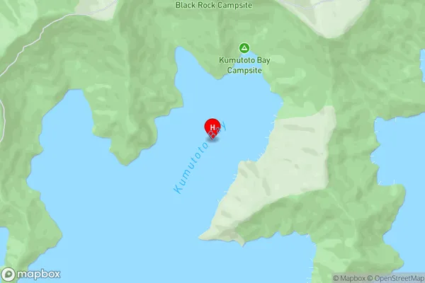
KumutotoKumutoto Bay Area Map (Street)
Local Authority
Marlborough DistrictFull Address
Kumutoto Bay, Marlborough District, New ZealandAddress Type
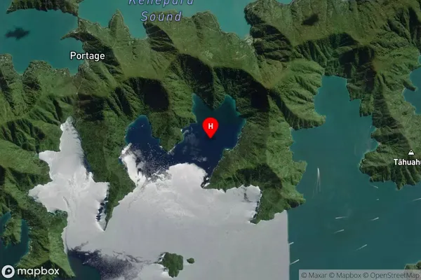
Locality in Major Locality Marlborough SoundsKumutoto Bay Suburb Map (Satellite)
Country
Main Region in AU
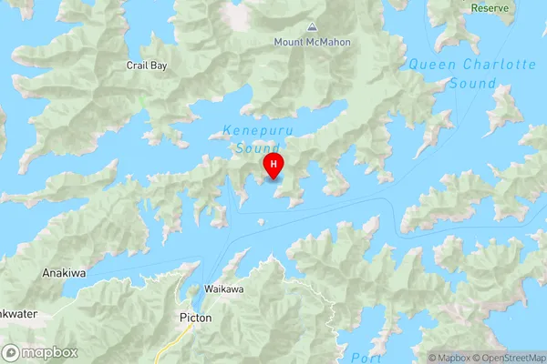
MarlboroughKumutoto Bay Region Map
Coordinates
-41.21393255,174.065559605801 (latitude/longitude)Distances
The distance from Kumutoto Bay, Marlborough Sounds, Marlborough District to NZ Top 10 Cities