Opunga Cove Area, Opunga Cove Postcode & Map in Opunga Cove
Opunga Cove Area, Opunga Cove Postcode & Map in Opunga Cove, Far North District, New Zealand
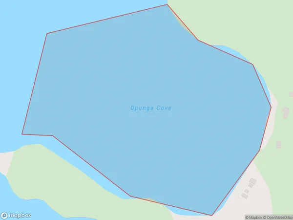
Opunga Cove, Far North District, New Zealand
Opunga Cove Area (estimated)
0.2 square kilometersOpunga Cove Population (estimated)
0 people live in Opunga Cove, Bay of Islands-Whangaroa Community, NZOpunga Cove Suburb Area Map (Polygon)
Opunga Cove Introduction
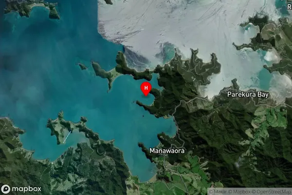
Opunga Cove is a small, secluded beach located in the Northland region of New Zealand. It is known for its crystal-clear waters, stunning coastal scenery, and peaceful atmosphere, making it a popular spot for swimming, snorkeling, and kayaking. The cove is surrounded by dense forest and rugged cliffs, providing a sense of isolation and tranquility. It is also home to a variety of bird species, including the rare Northland brown kiwi.Region
Major City
Suburb Name
Opunga CoveOther Name(s)
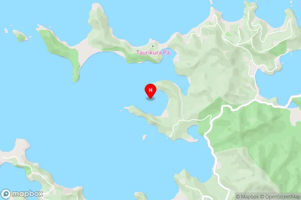
Te Rawhiti Inlet, Bay Of IslandsOpunga Cove Area Map (Street)
Local Authority
Far North DistrictFull Address
Opunga Cove, Far North District, New ZealandAddress Type
Coastal BayOpunga Cove Suburb Map (Satellite)
Country
Main Region in AU
NorthlandOpunga Cove Region Map

Coordinates
-35.2591081,174.2073676 (latitude/longitude)Distances
The distance from Opunga Cove, , Far North District to NZ Top 10 Cities