Opourua Bay Area, Opourua Bay Postcode & Map in Opourua Bay
Opourua Bay Area, Opourua Bay Postcode & Map in Opourua Bay, Far North District, New Zealand
Opourua Bay, Far North District, New Zealand
Opourua Bay Area (estimated)
0.2 square kilometersOpourua Bay Population (estimated)
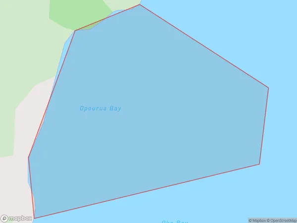
0 people live in Opourua Bay, Bay of Islands-Whangaroa Community, NZOpourua Bay Suburb Area Map (Polygon)
Opourua Bay Introduction
Opourua Bay is a picturesque bay located in the Northland region of New Zealand. It is known for its crystal-clear waters, stunning coastal scenery, and diverse marine life. The bay is a popular spot for swimming, kayaking, and fishing, and is also home to a small community of residents. The bay is surrounded by lush forested hills and is located at the mouth of the Opourua River.Region
Major City
Suburb Name
Opourua BayOther Name(s)
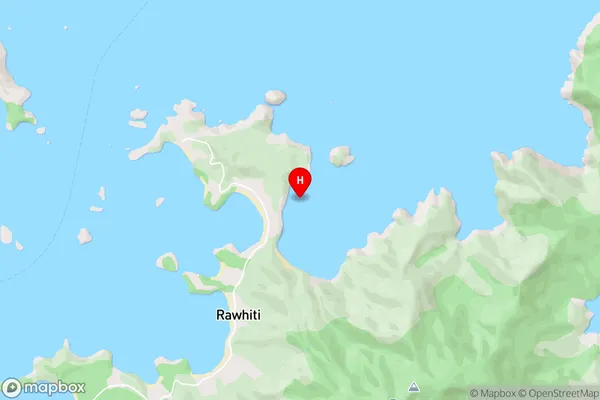
Bay Of IslandsOpourua Bay Area Map (Street)
Local Authority
Far North DistrictFull Address
Opourua Bay, Far North District, New ZealandAddress Type
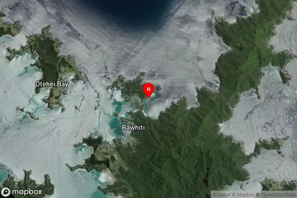
Coastal BayOpourua Bay Suburb Map (Satellite)
Country
Main Region in AU
NorthlandOpourua Bay Region Map

Coordinates
-35.2250023,174.2664161 (latitude/longitude)Distances
The distance from Opourua Bay, , Far North District to NZ Top 10 Cities