Kumeroa Area, Kumeroa Postcode(4997) & Map in Kumeroa
Kumeroa Area, Kumeroa Postcode(4997) & Map in Kumeroa, Tararua District, New Zealand
Kumeroa, Tararua District, New Zealand
Kumeroa Postcodes
Kumeroa Area (estimated)
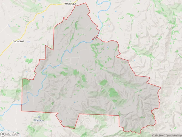
148.5 square kilometersKumeroa Population (estimated)
254 people live in Kumeroa, Manawatu-Wanganui, NZKumeroa Suburb Area Map (Polygon)
Kumeroa Introduction
Kumeroa is a small rural town in the Manawatu-Wanganui region of New Zealand. It is known for its scenic rural surroundings, including the Kumeroa Range and the Ohinewa Forest. The town has a population of around 1,000 people and is located about 35 kilometers south of Palmerston North. It is a popular destination for outdoor enthusiasts, with many hiking and cycling trails in the area.Region
0Suburb Name
KumeroaOther Name(s)
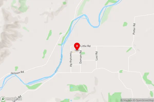
HopelandsKumeroa Area Map (Street)
Local Authority
Tararua DistrictFull Address
Kumeroa, Tararua District, New ZealandAddress Type
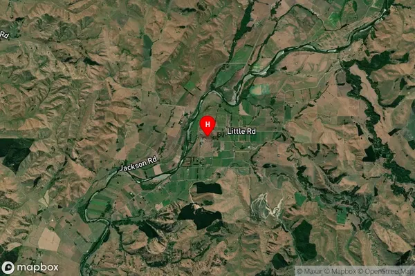
Locality in Major Locality KumeroaKumeroa Suburb Map (Satellite)
Country
Main Region in AU
Manawatu-WanganuiKumeroa Region Map

Coordinates
-40.3373903,175.9910812 (latitude/longitude)Distances
The distance from Kumeroa, Kumeroa, Tararua District to NZ Top 10 Cities