Opito Bay Area, Opito Bay Postcode & Map in Opito Bay
Opito Bay Area, Opito Bay Postcode & Map in Opito Bay, Far North District, New Zealand
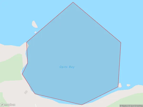
Opito Bay, Far North District, New Zealand
Opito Bay Area (estimated)
0.2 square kilometersOpito Bay Population (estimated)
0 people live in Opito Bay, Bay of Islands-Whangaroa Community, NZOpito Bay Suburb Area Map (Polygon)
Opito Bay Introduction
Opito Bay is a small bay and settlement in Northland, New Zealand. It is located at the southern end of the Bay of Islands and is known for its clear waters, sandy beaches, and stunning coastal scenery. The bay is a popular destination for tourists and has a range of accommodation options, including hotels, resorts, and holiday homes. It is also home to a small community of people who live in the surrounding areas.Region
Major City
Suburb Name
Opito BayOther Name(s)
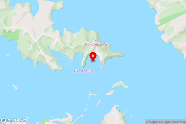
Te Rawhiti Inlet, Bay Of IslandsOpito Bay Area Map (Street)
Local Authority
Far North DistrictFull Address
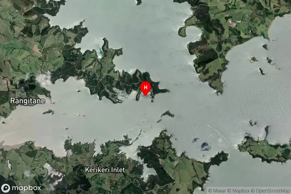
Opito Bay, Far North District, New ZealandAddress Type
Coastal BayOpito Bay Suburb Map (Satellite)
Country
Main Region in AU
NorthlandOpito Bay Region Map

Coordinates
-35.1945042,174.0415126 (latitude/longitude)Distances
The distance from Opito Bay, , Far North District to NZ Top 10 Cities