Onetaunga Bay Area, Onetaunga Bay Postcode(0622) & Map in Onetaunga Bay
Onetaunga Bay Area, Onetaunga Bay Postcode(0622) & Map in Onetaunga Bay, Auckland, New Zealand
Onetaunga Bay, Auckland, New Zealand
Onetaunga Bay Postcodes
Onetaunga Bay Area (estimated)
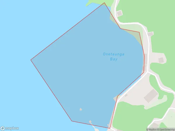
0.1 square kilometersOnetaunga Bay Population (estimated)
0 people live in Onetaunga Bay, Kaipātiki, NZOnetaunga Bay Suburb Area Map (Polygon)
Onetaunga Bay Introduction
Onetaunga Bay is a picturesque beach located in Auckland, New Zealand. It is known for its crystal-clear waters, white sand, and stunning coastal views. The bay is a popular spot for swimming, sunbathing, and water sports such as kayaking and paddleboarding. It is also home to a small community of residents and a popular beachside restaurant.Region
Major City
Suburb Name
Onetaunga BayOther Name(s)
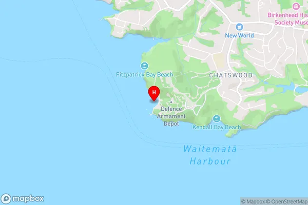
Waitemata Harbour, Hauraki Gulf (Maori Name: Waitematā Harbour, Hauraki Gulf)Onetaunga Bay Area Map (Street)
Local Authority
AucklandFull Address
Onetaunga Bay, Auckland, New ZealandAddress Type
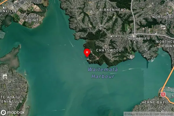
Coastal BayOnetaunga Bay Suburb Map (Satellite)
Country
Main Region in AU
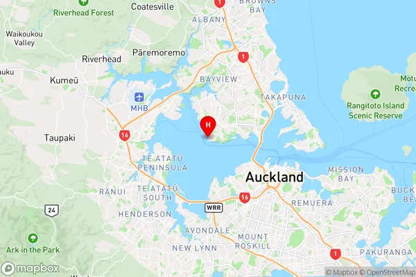
AucklandOnetaunga Bay Region Map
Coordinates
-36.82151145,174.697283205173 (latitude/longitude)Distances
The distance from Onetaunga Bay, , Auckland to NZ Top 10 Cities