Oneroa Bay Area, Oneroa Bay Postcode & Map in Oneroa Bay
Oneroa Bay Area, Oneroa Bay Postcode & Map in Oneroa Bay, Far North District, New Zealand
Oneroa Bay, Far North District, New Zealand
Oneroa Bay Area (estimated)
0.2 square kilometersOneroa Bay Population (estimated)
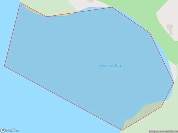
0 people live in Oneroa Bay, Bay of Islands-Whangaroa Community, NZOneroa Bay Suburb Area Map (Polygon)
Oneroa Bay Introduction
Oneroa Bay is a picturesque bay located in the Far North District of Northland, New Zealand. It is known for its stunning turquoise waters, white sandy beaches, and surrounding natural beauty. The bay is a popular destination for tourists and locals alike, with many activities to enjoy, such as swimming, snorkeling, kayaking, and fishing. The bay is also home to a small community of people who live in the surrounding areas.Region
Major City
Suburb Name
Oneroa BayOther Name(s)
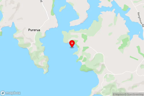
Te Puna Inlet, Bay Of IslandsOneroa Bay Area Map (Street)
Local Authority
Far North DistrictFull Address
Oneroa Bay, Far North District, New ZealandAddress Type
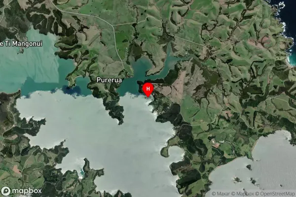
Coastal BayOneroa Bay Suburb Map (Satellite)
Country
Main Region in AU
NorthlandOneroa Bay Region Map

Coordinates
-35.1604083,174.0486695 (latitude/longitude)Distances
The distance from Oneroa Bay, , Far North District to NZ Top 10 Cities