Onepoto Bay Area, Onepoto Bay Postcode(4108) & Map in Onepoto Bay
Onepoto Bay Area, Onepoto Bay Postcode(4108) & Map in Onepoto Bay, Wairoa District, New Zealand
Onepoto Bay, Wairoa District, New Zealand
Onepoto Bay Postcodes
Onepoto Bay Area (estimated)
0.1 square kilometersOnepoto Bay Population (estimated)
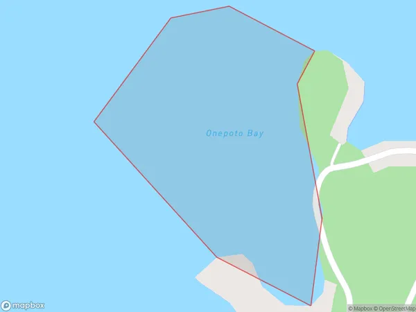
0 people live in Onepoto Bay, Hawke's Bay, NZOnepoto Bay Suburb Area Map (Polygon)
Onepoto Bay Introduction
Onepoto Bay is a picturesque beach located in Hawke's Bay, New Zealand. It is known for its crystal-clear waters, stunning sunsets, and peaceful surroundings. The bay is a popular spot for swimming, kayaking, and fishing, and it is surrounded by native bush and farmland. Visitors can also enjoy a walk along the beach or explore the nearby Onepoto Forest, which is home to a variety of native birds and plants.Region
Suburb Name
Onepoto BayOther Name(s)
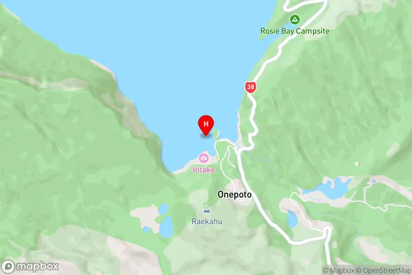
Lake WaikaremoanaOnepoto Bay Area Map (Street)
Local Authority
Wairoa DistrictFull Address
Onepoto Bay, Wairoa District, New ZealandAddress Type
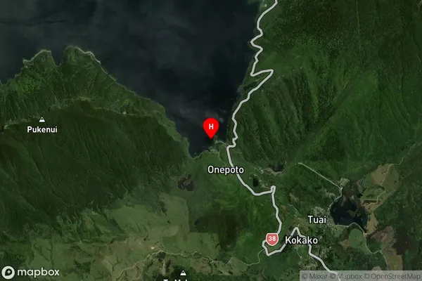
Inland BayOnepoto Bay Suburb Map (Satellite)
Country
Main Region in AU
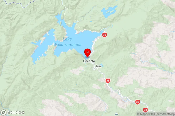
Hawke's BayOnepoto Bay Region Map
Coordinates
-38.7976424,177.1189614 (latitude/longitude)Distances
The distance from Onepoto Bay, , Wairoa District to NZ Top 10 Cities