Onepoto Bay Area, Onepoto Bay Postcode & Map in Onepoto Bay
Onepoto Bay Area, Onepoto Bay Postcode & Map in Onepoto Bay, Far North District, New Zealand
Onepoto Bay, Far North District, New Zealand
Onepoto Bay Area (estimated)
0.1 square kilometersOnepoto Bay Population (estimated)
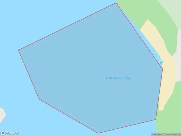
0 people live in Onepoto Bay, Bay of Islands-Whangaroa Community, NZOnepoto Bay Suburb Area Map (Polygon)
Onepoto Bay Introduction
Onepoto Bay is a picturesque bay located in Northland, New Zealand. It is known for its stunning natural beauty, including crystal-clear waters, rugged cliffs, and lush green forests. The bay is a popular spot for swimming, kayaking, and fishing, and it is also home to a small community of residents. The bay is surrounded by picturesque countryside and is located near the town of Kerikeri.Region
Major City
Suburb Name
Onepoto BayOther Name(s)
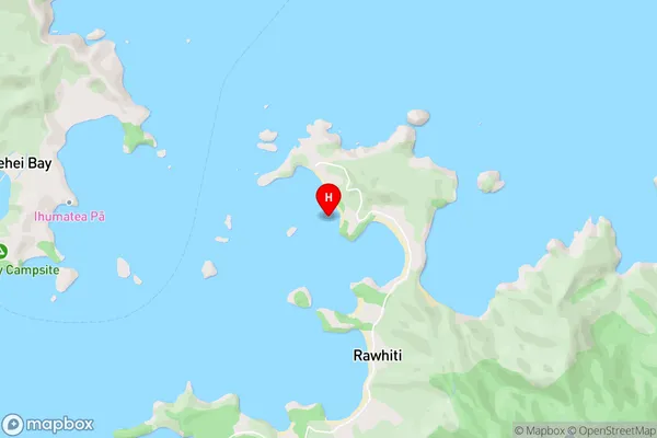
Te Rawhiti Inlet, Bay Of IslandsOnepoto Bay Area Map (Street)
Local Authority
Far North DistrictFull Address
Onepoto Bay, Far North District, New ZealandAddress Type
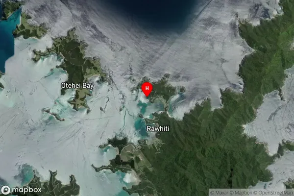
Coastal BayOnepoto Bay Suburb Map (Satellite)
Country
Main Region in AU
NorthlandOnepoto Bay Region Map

Coordinates
-35.2243227,174.2572834 (latitude/longitude)Distances
The distance from Onepoto Bay, , Far North District to NZ Top 10 Cities