Onepoto Bay Area, Onepoto Bay Postcode & Map in Onepoto Bay
Onepoto Bay Area, Onepoto Bay Postcode & Map in Onepoto Bay, Area outside Territorial Authority,
Onepoto Bay, Area outside Territorial Authority,
Onepoto Bay Area (estimated)
0.2 square kilometersOnepoto Bay Population (estimated)
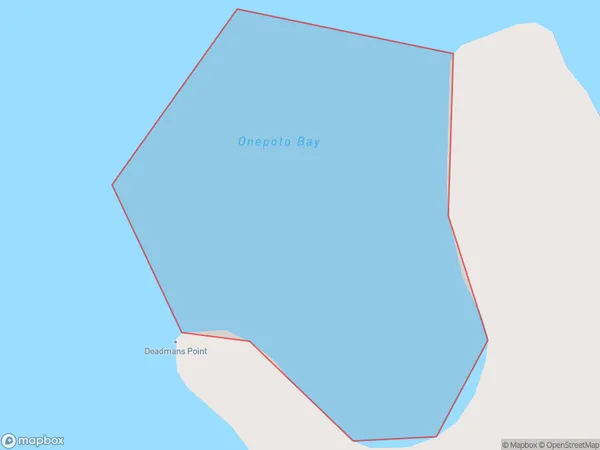
0 people live in Onepoto Bay, Brighton, NZOnepoto Bay Suburb Area Map (Polygon)
Onepoto Bay Introduction
Onepoto Bay is a small, sheltered bay located in the Otago region of New Zealand. It is known for its peaceful atmosphere, stunning coastal scenery, and diverse marine life. The bay is a popular spot for fishing, kayaking, and birdwatching, and is surrounded by picturesque mountains and forests.Region
Major City
Suburb Name
Onepoto BayOther Name(s)
Hauraki GulfOnepoto Bay Area Map (Street)
Local Authority
Area outside Territorial AuthorityFull Address
Onepoto Bay, Area outside Territorial Authority,Address Type
Coastal BayOnepoto Bay Suburb Map (Satellite)
Country
Main Region in AU
OtagoOnepoto Bay Region Map
Coordinates
0,0 (latitude/longitude)Distances
The distance from Onepoto Bay, , Area outside Territorial Authority to NZ Top 10 Cities