Kumara Area, Kumara Postcode(7832) & Map in Kumara
Kumara Area, Kumara Postcode(7832) & Map in Kumara, Westland District, New Zealand
Kumara, Westland District, New Zealand
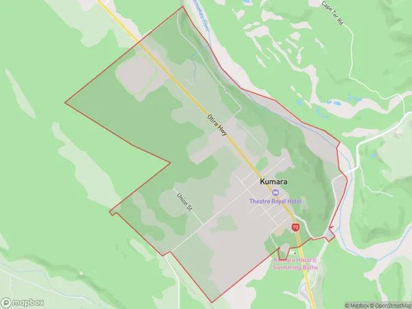
Kumara Area (estimated)
7.8 square kilometersKumara Population (estimated)
301 people live in Kumara, West Coast, NZKumara Suburb Area Map (Polygon)
Kumara Introduction
Kumara is a small town on the West Coast of New Zealand's South Island. It is well-known for its coal mining and as the birthplace of the renowned Kumara River. The town has a population of around 2,000 people and is surrounded by stunning natural scenery, including the Southern Alps and the Kumara Forest Park.Region
Major City
Suburb Name
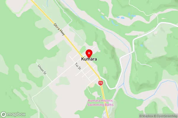
KumaraKumara Area Map (Street)
Local Authority
Westland DistrictFull Address
Kumara, Westland District, New ZealandAddress Type
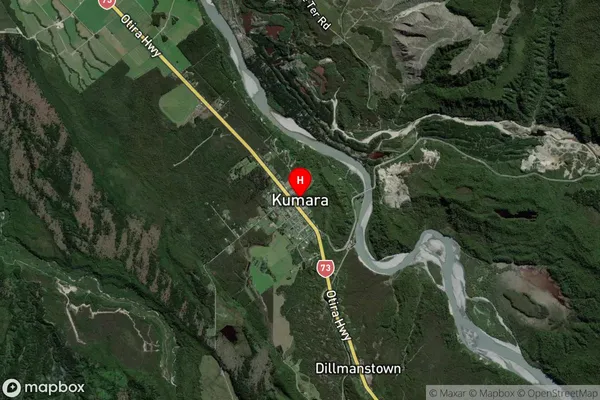
Suburb in Town GreymouthKumara Suburb Map (Satellite)
Country
Main Region in AU
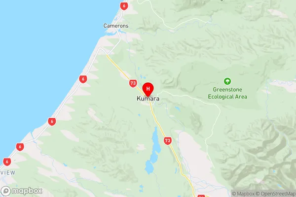
West CoastKumara Region Map
Coordinates
-42.6298696,171.1869146 (latitude/longitude)Distances
The distance from Kumara, Greymouth, Westland District to NZ Top 10 Cities