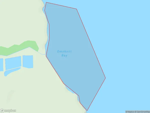
Omokoiti Bay Area, Omokoiti Bay Postcode(1148) & Map in Omokoiti Bay
Omokoiti Bay Area, Omokoiti Bay Postcode(1148) & Map in Omokoiti Bay, Auckland, New Zealand
Omokoiti Bay, Auckland, New Zealand
Omokoiti Bay Postcodes
Omokoiti Bay Area (estimated)
0.4 square kilometersOmokoiti Bay Population (estimated)
0 people live in Omokoiti Bay, Rodney, NZOmokoiti Bay Suburb Area Map (Polygon)
Omokoiti Bay Introduction
Omokoiti Bay is a small, sheltered bay located in the Waitemata Harbour of Auckland, New Zealand. It is known for its peaceful atmosphere, stunning natural beauty, and rich cultural heritage. The bay is surrounded by lush green hills and is a popular spot for swimming, kayaking, and sailing. It is also home to a small community of native birds and is a protected area under the New Zealand Historic Places Trust.Region
Major City
Suburb Name
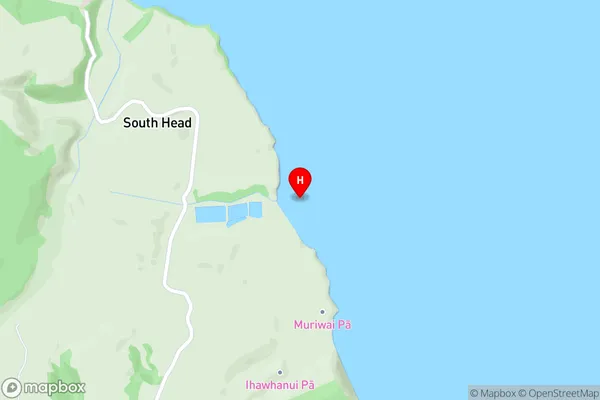
Omokoiti BayOther Name(s)
Kaipara HarbourOmokoiti Bay Area Map (Street)
Local Authority
AucklandFull Address
Omokoiti Bay, Auckland, New ZealandAddress Type
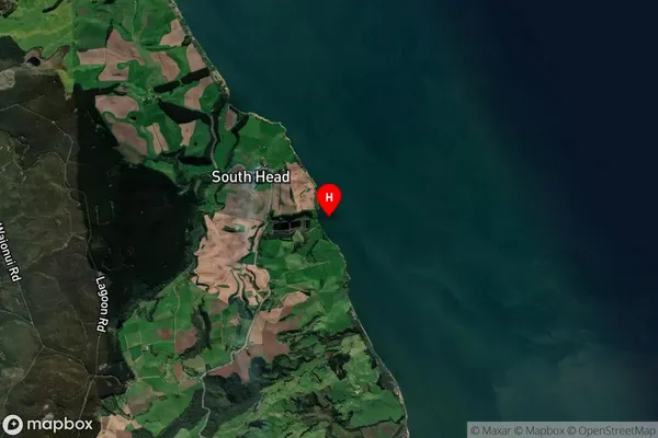
Coastal BayOmokoiti Bay Suburb Map (Satellite)
Country
Main Region in AU
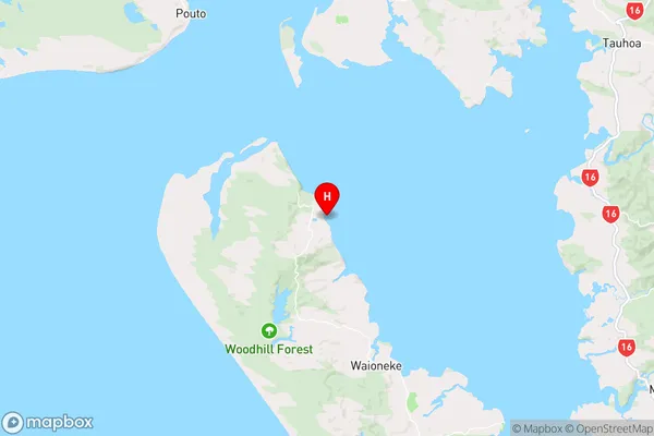
AucklandOmokoiti Bay Region Map
Coordinates
-36.4665073,174.2669177 (latitude/longitude)Distances
The distance from Omokoiti Bay, , Auckland to NZ Top 10 Cities