Omarupoto Bay Area, Omarupoto Bay Postcode(3010) & Map in Omarupoto Bay
Omarupoto Bay Area, Omarupoto Bay Postcode(3010) & Map in Omarupoto Bay, Rotorua District, New Zealand
Omarupoto Bay, Rotorua District, New Zealand
Omarupoto Bay Postcodes
Omarupoto Bay Area (estimated)
0.3 square kilometersOmarupoto Bay Population (estimated)
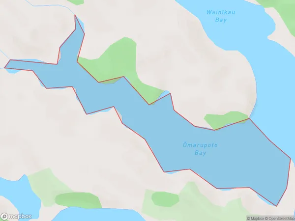
0 people live in Omarupoto Bay, Bay of Plenty, NZOmarupoto Bay Suburb Area Map (Polygon)
Omarupoto Bay Introduction
Omarupoto Bay is a small, shallow bay located in the Bay of Plenty region of New Zealand. It is known for its clear waters and stunning coastal scenery, making it a popular spot for swimming, snorkeling, and kayaking. The bay is surrounded by native bush and has a peaceful, tranquil atmosphere. It is also home to a small community of people who live in traditional Māori dwellings.Region
Suburb Name
Omarupoto Bay (Maori Name: Ōmarupoto Bay)Other Name(s)
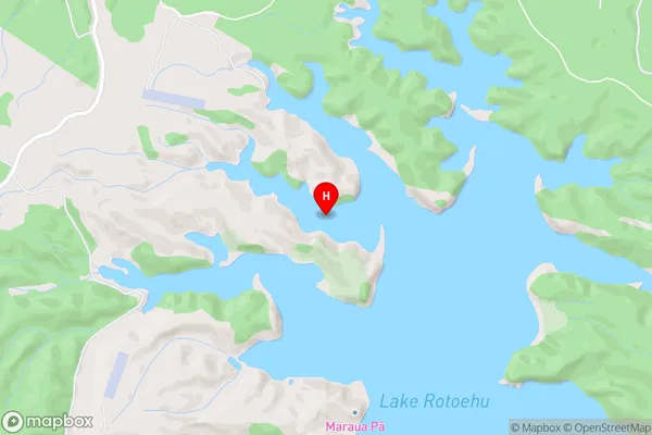
Lake RotoehuOmarupoto Bay Area Map (Street)
Local Authority
Rotorua DistrictFull Address
Omarupoto Bay, Rotorua District, New ZealandAddress Type
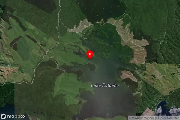
Inland BayOmarupoto Bay Suburb Map (Satellite)
Country
Main Region in AU
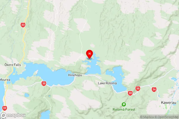
Bay of PlentyOmarupoto Bay Region Map
Coordinates
-38.0075092,176.5214676 (latitude/longitude)Distances
The distance from Omarupoto Bay, , Rotorua District to NZ Top 10 Cities