Omakiwi Cove Area, Omakiwi Cove Postcode & Map in Omakiwi Cove
Omakiwi Cove Area, Omakiwi Cove Postcode & Map in Omakiwi Cove, Far North District, New Zealand
Omakiwi Cove, Far North District, New Zealand
Omakiwi Cove Area (estimated)
0.2 square kilometersOmakiwi Cove Population (estimated)
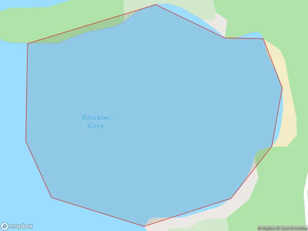
0 people live in Omakiwi Cove, Bay of Islands-Whangaroa Community, NZOmakiwi Cove Suburb Area Map (Polygon)
Omakiwi Cove Introduction
Omakiwi Cove is a small, sheltered beach located in the Bay of Islands, Northland, New Zealand. It is known for its clear waters, stunning natural surroundings, and peaceful atmosphere, making it a popular spot for swimming, snorkeling, and kayaking. The cove is surrounded by lush green cliffs and is home to a variety of marine life, including dolphins, whales, and seals. Visitors can also explore the nearby hiking trails and visit the historic Omakiwi Lighthouse.Region
Major City
Suburb Name
Omakiwi CoveOther Name(s)
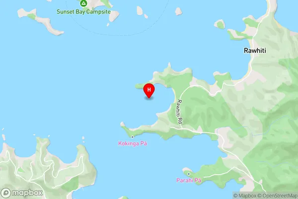
Te Rawhiti Inlet, Bay Of IslandsOmakiwi Cove Area Map (Street)
Local Authority
Far North DistrictFull Address
Omakiwi Cove, Far North District, New ZealandAddress Type
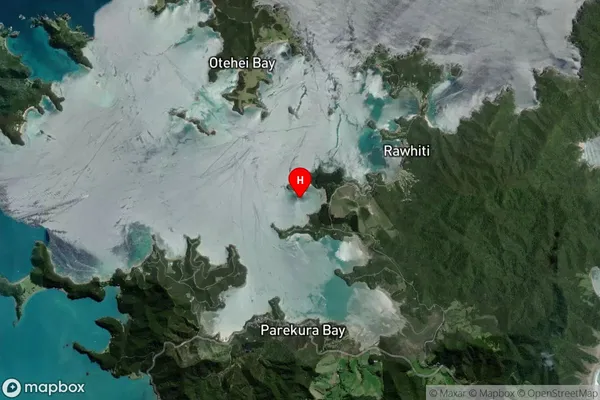
Coastal BayOmakiwi Cove Suburb Map (Satellite)
Country
Main Region in AU
NorthlandOmakiwi Cove Region Map

Coordinates
-35.2399584,174.2428207 (latitude/longitude)Distances
The distance from Omakiwi Cove, , Far North District to NZ Top 10 Cities