Omahota Bay Area, Omahota Bay Postcode(3010) & Map in Omahota Bay
Omahota Bay Area, Omahota Bay Postcode(3010) & Map in Omahota Bay, Rotorua District, New Zealand
Omahota Bay, Rotorua District, New Zealand
Omahota Bay Postcodes
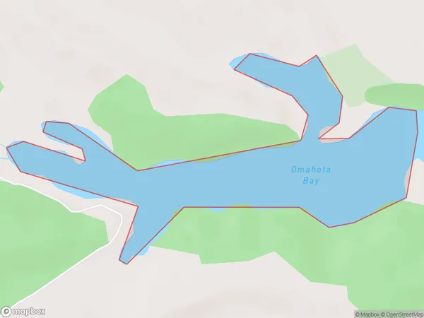
Omahota Bay Area (estimated)
0.3 square kilometersOmahota Bay Population (estimated)
0 people live in Omahota Bay, Bay of Plenty, NZOmahota Bay Suburb Area Map (Polygon)
Omahota Bay Introduction
Omahota Bay is a picturesque bay located in the Bay of Plenty, New Zealand. It is known for its clear waters, stunning beaches, and vibrant marine life. The bay is a popular spot for swimming, snorkeling, and kayaking, and it is also home to a small community of residents. The bay is surrounded by lush green hills and picturesque farmland, and it offers a peaceful and tranquil escape from the hustle and bustle of city life.Region
Suburb Name
Omahota BayOther Name(s)
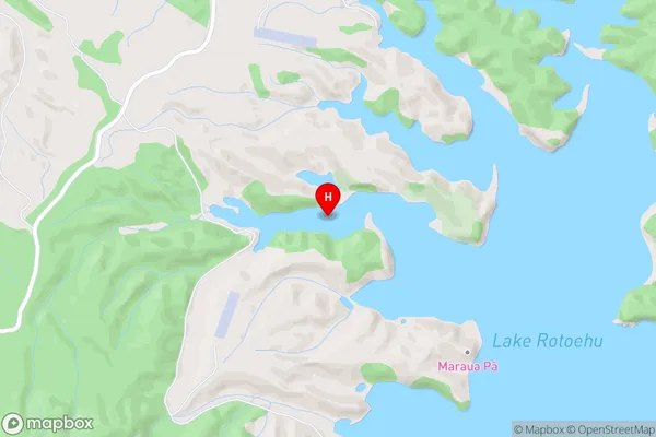
Lake RotoehuOmahota Bay Area Map (Street)
Local Authority
Rotorua DistrictFull Address
Omahota Bay, Rotorua District, New ZealandAddress Type
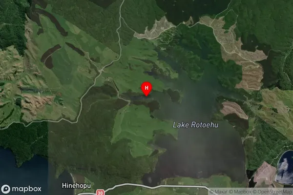
Inland BayOmahota Bay Suburb Map (Satellite)
Country
Main Region in AU
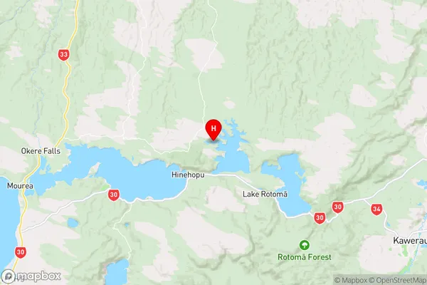
Bay of PlentyOmahota Bay Region Map
Coordinates
-38.0113602,176.5127973 (latitude/longitude)Distances
The distance from Omahota Bay, , Rotorua District to NZ Top 10 Cities