Bastia Hill Area, Bastia Hill Postcode(4500) & Map in Bastia Hill
Bastia Hill Area, Bastia Hill Postcode(4500) & Map in Bastia Hill, Whanganui District, New Zealand
Bastia Hill, Whanganui District, New Zealand
Bastia Hill Postcodes
Bastia Hill Area (estimated)
1.1 square kilometersBastia Hill Population (estimated)
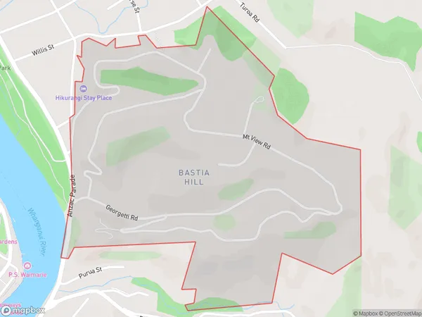
628 people live in Bastia Hill, Whanganui, NZBastia Hill Suburb Area Map (Polygon)
Bastia Hill Introduction
Bastia Hill is a prominent hill in Whanganui, New Zealand, known for its scenic views and historical significance as a former military fortification. It is a popular destination for hiking and nature walks, offering panoramic views of the city and the surrounding region. The hill also houses a small museum and a memorial to the soldiers who served in the area during World War II.Region
Major City
Suburb Name
Bastia HillOther Name(s)
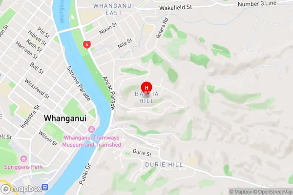
Kowhai Park, Wanganui CentralBastia Hill Area Map (Street)
Local Authority
Whanganui DistrictFull Address
Bastia Hill, Whanganui District, New ZealandAddress Type
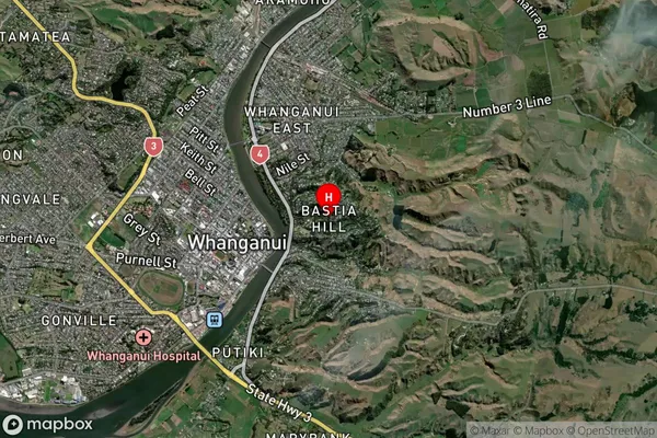
Suburb in Town WhanganuiBastia Hill Suburb Map (Satellite)
Country
Main Region in AU
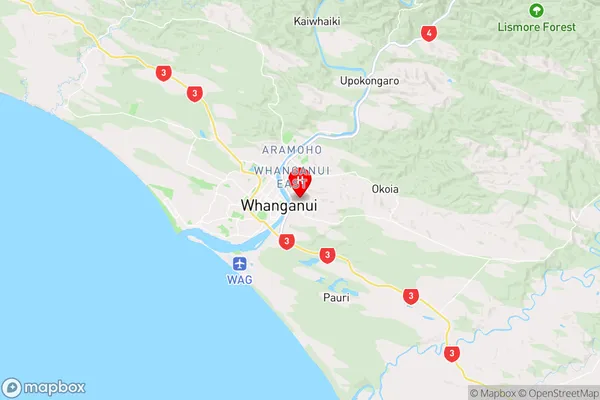
Manawatu-WanganuiBastia Hill Region Map
Coordinates
-39.9296856,175.06624 (latitude/longitude)Distances
The distance from Bastia Hill, Whanganui, Whanganui District to NZ Top 10 Cities