Okuta Bay Area, Okuta Bay Postcode(3385) & Map in Okuta Bay
Okuta Bay Area, Okuta Bay Postcode(3385) & Map in Okuta Bay, Taupo District, New Zealand
Okuta Bay, Taupo District, New Zealand
Okuta Bay Postcodes
Okuta Bay Area (estimated)
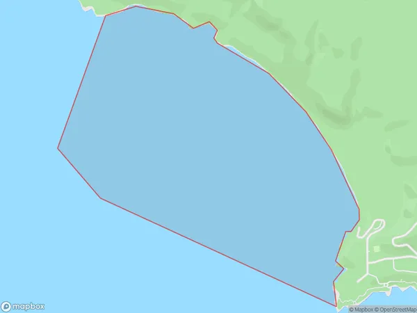
2.1 square kilometersOkuta Bay Population (estimated)
0 people live in Okuta Bay, Waikato, NZOkuta Bay Suburb Area Map (Polygon)
Okuta Bay Introduction
Waikato's Okuta Bay is a popular destination for water activities such as swimming, boating, and fishing. It is also home to a significant bird population, including the rare and endangered North Island brown kiwi. The bay is surrounded by picturesque farmland and has a peaceful, rural atmosphere.Region
Suburb Name
Okuta BayOther Name(s)
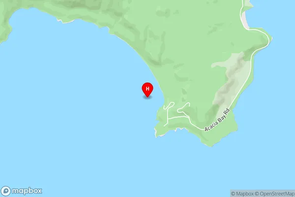
Lake Taupo (Taupomoana)Okuta Bay Area Map (Street)
Local Authority
Taupo DistrictFull Address
Okuta Bay, Taupo District, New ZealandAddress Type
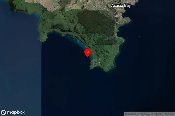
Inland BayOkuta Bay Suburb Map (Satellite)
Country
Main Region in AU
WaikatoOkuta Bay Region Map

Coordinates
-38.7318584,176.0054923 (latitude/longitude)Distances
The distance from Okuta Bay, , Taupo District to NZ Top 10 Cities