Okura Bay Area, Okura Bay Postcode & Map in Okura Bay
Okura Bay Area, Okura Bay Postcode & Map in Okura Bay, Area outside Territorial Authority,
Okura Bay, Area outside Territorial Authority,
Okura Bay Area (estimated)
0.1 square kilometersOkura Bay Population (estimated)
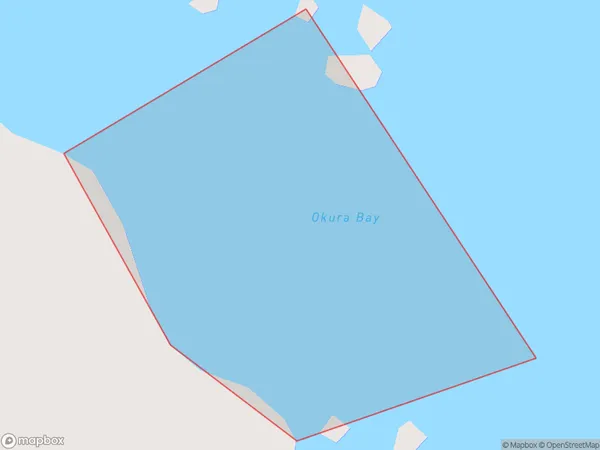
0 people live in Okura Bay, Brighton, NZOkura Bay Suburb Area Map (Polygon)
Okura Bay Introduction
Otago Harbour is a natural harbor and estuary of the Otago River in southern New Zealand. It is located in the city of Dunedin, 40 km south of the city center. The harbor is home to a large number of ships and yachts, as well as the Royal New Zealand Navy's southern base. The harbor is also a popular tourist destination, with many visitors coming to see the stunning scenery and wildlife.Region
Major City
Suburb Name
Okura BayOkura Bay Area Map (Street)
Local Authority
Area outside Territorial AuthorityFull Address
Okura Bay, Area outside Territorial Authority,Address Type
Coastal BayOkura Bay Suburb Map (Satellite)
Country
Main Region in AU
OtagoOkura Bay Region Map
Coordinates
0,0 (latitude/longitude)Distances
The distance from Okura Bay, , Area outside Territorial Authority to NZ Top 10 Cities