Okoromai Bay Area, Okoromai Bay Postcode(0622) & Map in Okoromai Bay
Okoromai Bay Area, Okoromai Bay Postcode(0622) & Map in Okoromai Bay, Auckland, New Zealand
Okoromai Bay, Auckland, New Zealand
Okoromai Bay Postcodes
Okoromai Bay Area (estimated)
1.4 square kilometersOkoromai Bay Population (estimated)
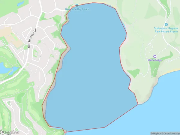
0 people live in Okoromai Bay, Hibiscus Coast, NZOkoromai Bay Suburb Area Map (Polygon)
Okoromai Bay Introduction
Okoromai Bay is a small, sheltered bay located in the Waitemata Harbour of Auckland, New Zealand. It is known for its peaceful atmosphere, stunning natural beauty, and rich cultural heritage. The bay is surrounded by lush green hills and is home to a variety of wildlife, including native birds, fish, and marine mammals. It is also a popular spot for swimming, kayaking, and sailing. The bay has a rich history, with evidence of human settlement dating back thousands of years. It was once the site of a Māori village, and it remains an important cultural site for the local iwi (indigenous people).Region
Major City
Suburb Name
Okoromai BayOther Name(s)
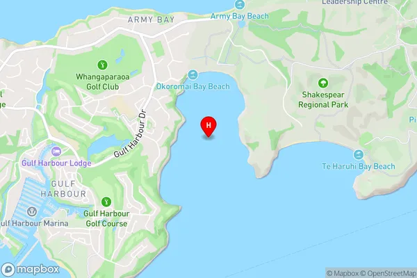
Hauraki GulfOkoromai Bay Area Map (Street)
Local Authority
AucklandFull Address
Okoromai Bay, Auckland, New ZealandAddress Type
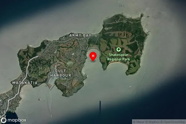
Coastal BayOkoromai Bay Suburb Map (Satellite)
Country
Main Region in AU
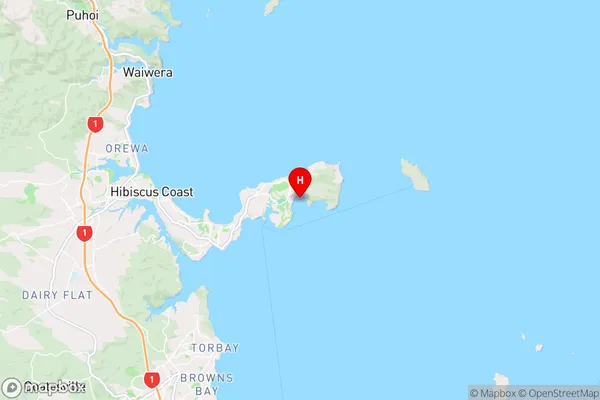
AucklandOkoromai Bay Region Map
Coordinates
-36.61407165,174.81055382968 (latitude/longitude)Distances
The distance from Okoromai Bay, , Auckland to NZ Top 10 Cities