Okains Bay Area, Okains Bay Postcode(7853) & Map in Okains Bay
Okains Bay Area, Okains Bay Postcode(7853) & Map in Okains Bay, Christchurch City, New Zealand
Okains Bay, Christchurch City, New Zealand
Okains Bay Postcodes
Okains Bay Area (estimated)
4.1 square kilometersOkains Bay Population (estimated)
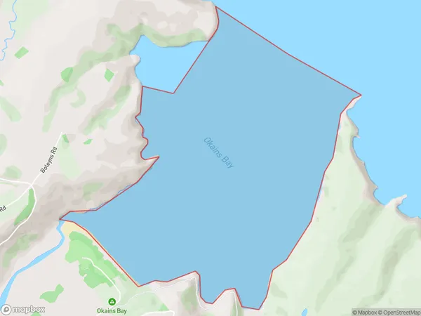
0 people live in Okains Bay, Banks Peninsula Community, NZOkains Bay Suburb Area Map (Polygon)
Okains Bay Introduction
Okains Bay is a small, peaceful bay located in the Canterbury region of New Zealand. It is known for its stunning natural beauty, including rugged cliffs, crystal-clear waters, and a variety of marine life. The bay is popular with tourists and outdoor enthusiasts for activities such as hiking, kayaking, and fishing. It is also home to a small community of residents who enjoy the peaceful and tranquil lifestyle that the bay offers.Region
Major City
Suburb Name
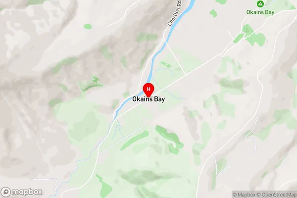
Okains BayOkains Bay Area Map (Street)
Local Authority
Christchurch CityFull Address
Okains Bay, Christchurch City, New ZealandAddress Type
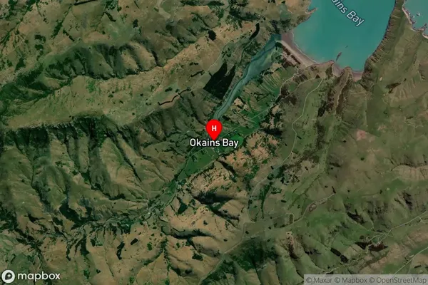
Coastal BayOkains Bay Suburb Map (Satellite)
Country
Main Region in AU
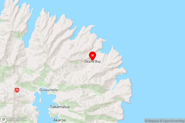
CanterburyOkains Bay Region Map
Coordinates
-43.7096655,173.0424226 (latitude/longitude)Distances
The distance from Okains Bay, , Christchurch City to NZ Top 10 Cities