Ohingaroa Bay Area, Ohingaroa Bay Postcode(7281) & Map in Ohingaroa Bay
Ohingaroa Bay Area, Ohingaroa Bay Postcode(7281) & Map in Ohingaroa Bay, Marlborough District, New Zealand
Ohingaroa Bay, Marlborough District, New Zealand
Ohingaroa Bay Postcodes
Ohingaroa Bay Area (estimated)
0.8 square kilometersOhingaroa Bay Population (estimated)
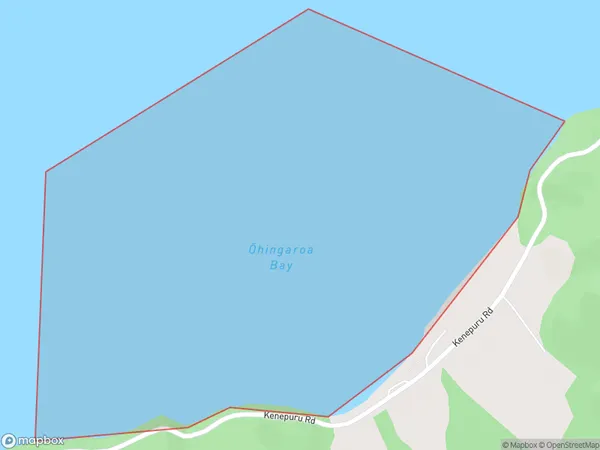
0 people live in Ohingaroa Bay, Marlborough, NZOhingaroa Bay Suburb Area Map (Polygon)
Ohingaroa Bay Introduction
Ohingaroa Bay is a picturesque and safe bay located in Marlborough, New Zealand. It is known for its clear waters, sandy beaches, and stunning coastal scenery. The bay is a popular spot for swimming, kayaking, and fishing, and it is surrounded by lush green hills and vineyards. The bay has a rich history and was once home to a Māori village. It is also home to a small population of seals and dolphins, which can be seen swimming and playing in the waters.Region
Suburb Name
Ohingaroa Bay (Maori Name: Ōhingaroa Bay)Other Name(s)
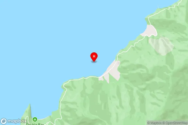
Mahau Sound, Tawhitinui ReachOhingaroa Bay Area Map (Street)
Local Authority
Marlborough DistrictFull Address
Ohingaroa Bay, Marlborough District, New ZealandAddress Type
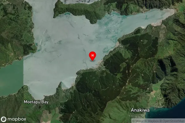
Coastal BayOhingaroa Bay Suburb Map (Satellite)
Country
Main Region in AU
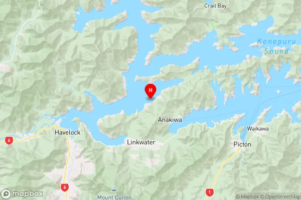
MarlboroughOhingaroa Bay Region Map
Coordinates
-41.2451306,173.8812773 (latitude/longitude)Distances
The distance from Ohingaroa Bay, , Marlborough District to NZ Top 10 Cities