Ohineruru Bay Area, Ohineruru Bay Postcode(3843) & Map in Ohineruru Bay
Ohineruru Bay Area, Ohineruru Bay Postcode(3843) & Map in Ohineruru Bay, Waitomo District, New Zealand
Ohineruru Bay, Waitomo District, New Zealand
Ohineruru Bay Postcodes
Ohineruru Bay Area (estimated)
0.1 square kilometersOhineruru Bay Population (estimated)
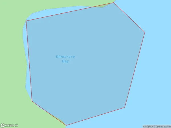
0 people live in Ohineruru Bay, Waikato, NZOhineruru Bay Suburb Area Map (Polygon)
Ohineruru Bay Introduction
Waikato's Ohineruru Bay is a popular beach destination. It has a long sandy coastline, clear waters, and a safe swimming area. The bay is also home to a small community and a popular campground. Visitors can enjoy fishing, hiking, and exploring the nearby wildlife reserves. The bay is a popular spot for weddings and events and is surrounded by picturesque farmland and forests.Region
Suburb Name
Ohineruru BayOther Name(s)
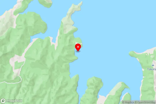
Kawhia HarbourOhineruru Bay Area Map (Street)
Local Authority
Waitomo DistrictFull Address
Ohineruru Bay, Waitomo District, New ZealandAddress Type
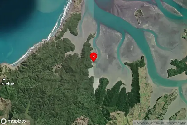
Coastal BayOhineruru Bay Suburb Map (Satellite)
Country
Main Region in AU
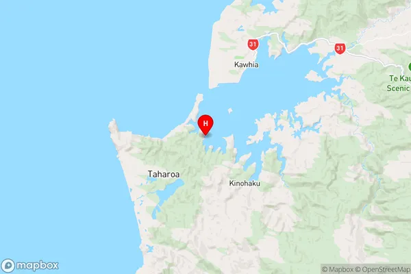
WaikatoOhineruru Bay Region Map
Coordinates
-38.122237,174.77746 (latitude/longitude)Distances
The distance from Ohineruru Bay, , Waitomo District to NZ Top 10 Cities