Ohinepaka Bay Area, Ohinepaka Bay Postcode(7582) & Map in Ohinepaka Bay
Ohinepaka Bay Area, Ohinepaka Bay Postcode(7582) & Map in Ohinepaka Bay, Christchurch City, New Zealand
Ohinepaka Bay, Christchurch City, New Zealand
Ohinepaka Bay Postcodes
Ohinepaka Bay Area (estimated)
0.1 square kilometersOhinepaka Bay Population (estimated)
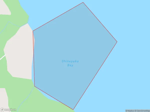
0 people live in Ohinepaka Bay, Banks Peninsula Community, NZOhinepaka Bay Suburb Area Map (Polygon)
Ohinepaka Bay Introduction
Ohinepaka Bay is a small, sheltered bay located in the Canterbury region of New Zealand. It is known for its calm waters and stunning coastal scenery, making it a popular spot for swimming, kayaking, and fishing. The bay is also home to a small community of residents who enjoy the peaceful and relaxed lifestyle that the area offers.Region
Major City
Suburb Name
Ohinepaka BayOther Name(s)
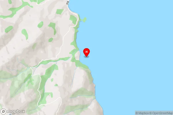
Akaroa HarbourOhinepaka Bay Area Map (Street)
Local Authority
Christchurch CityFull Address
Ohinepaka Bay, Christchurch City, New ZealandAddress Type
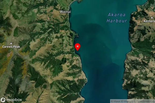
Coastal BayOhinepaka Bay Suburb Map (Satellite)
Country
Main Region in AU
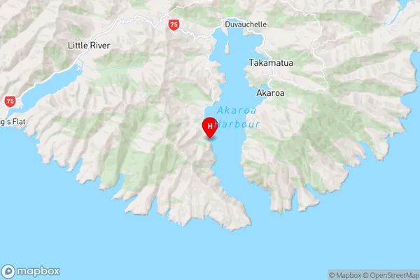
CanterburyOhinepaka Bay Region Map
Coordinates
-43.8373218,172.9095617 (latitude/longitude)Distances
The distance from Ohinepaka Bay, , Christchurch City to NZ Top 10 Cities